UN/LOCODE hub · United Kingdom
GBGRJ

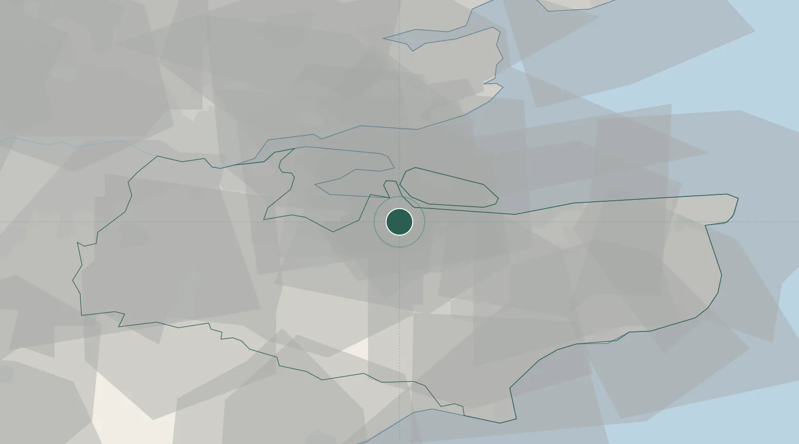
Grovehurst Jetty/Sittingbourne

51.3333°, 0.7333°
2
Transport functions

Transport Functions

Port
Road
UN/LOCODE

Hub Profile

Region
KEN
GeoNames

Location

Location of GBGRJ
Natural Earth 10m (public domain) · KEN · GBGRJ · 51.33, 0.73GoogleOSMYandex

Nearby Logistics Neighbours

Cities
  1. 1Norton7 km
  2. 2Isle of Sheppey9 km
  3. 3Eastchurch12 km
  4. 4Rochester13 km
  5. 5Isle of Grain13 km
Nearest neighbours — logibook spatial index (haversine) over the source coordinates
Ports
  1. 1Isle Of Grain11 km
  2. 2Thamesport11 km
  3. 3Sheerness13 km
  4. 4Chatham Docks15 km
  5. 5Whitstable21 km
Nearest neighbours — logibook spatial index (haversine) over the source coordinates
Airports
  1. 1London Southend Airport27 km
  2. 2Lydd London Ashford Airport44 km
  3. 3London Biggin Hill Airport49 km
  4. 4London City Airport51 km
  5. 5London Gatwick Airport67 km
Nearest neighbours — logibook spatial index (haversine) over the source coordinates
Trade Zones
  1. 1Port of Sheerness Free Zone12 km
  2. 2Port of Tilbury Free Zone30 km
  3. 3Discovery Park - Sandwich Enterprise Zone43 km
  4. 4London Royal Docks Enterprise Zone54 km
  5. 5Harlow Enterprise Zone66 km
Nearest neighbours — logibook spatial index (haversine) over the source coordinates
DatabookThe Record of Consolidated Knowledge
United Kingdom beyond logistics?
Browse databook

All Sources

LocationsUN/LOCODE
UN/LOCODE — free
Portsthe NGA World Port Index
Public domain (US gov)
AirportsOurAirports
Public domain
Trade Zonesthe World Bank SEZ database
CC BY 4.0
Trade ZonesOpen Zone Map
CC BY
← United Kingdom locations