UN/LOCODE hub · United Kingdom
GBZBG
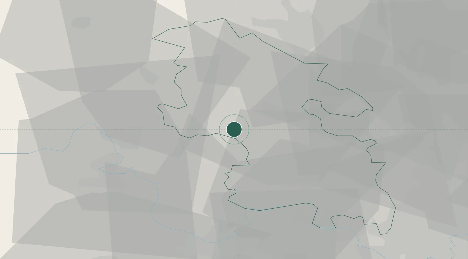
Haddenham
51.7667°, -0.9167°
4,391
Population
1
Transport functions
Transport Functions
Multimodal
Hub Profile
Place type
Populated place
Region
England
Population
4,391
Time zone
Europe/London
Elevation
79 m
Location
Nearby Logistics Neighbours
Cities
- 1Kingston Blount9 km
- 2Chinnor9 km
- 3Tendring18 km
- 4Cheddington19 km
- 5Pitstone21 km
Ports
- 1London65 km
- 2Tilbury93 km
- 3Gravesend95 km
- 4Southampton102 km
- 5Sharpness108 km
Airports
- 1RAF Benson21 km
- 2London Oxford Airport29 km
- 3London Luton Airport40 km
- 4Cranfield Airport40 km
- 5RAF Northolt42 km
DatabookThe Record of Consolidated Knowledge
United Kingdom beyond logistics?