Transport Functions
Multimodal
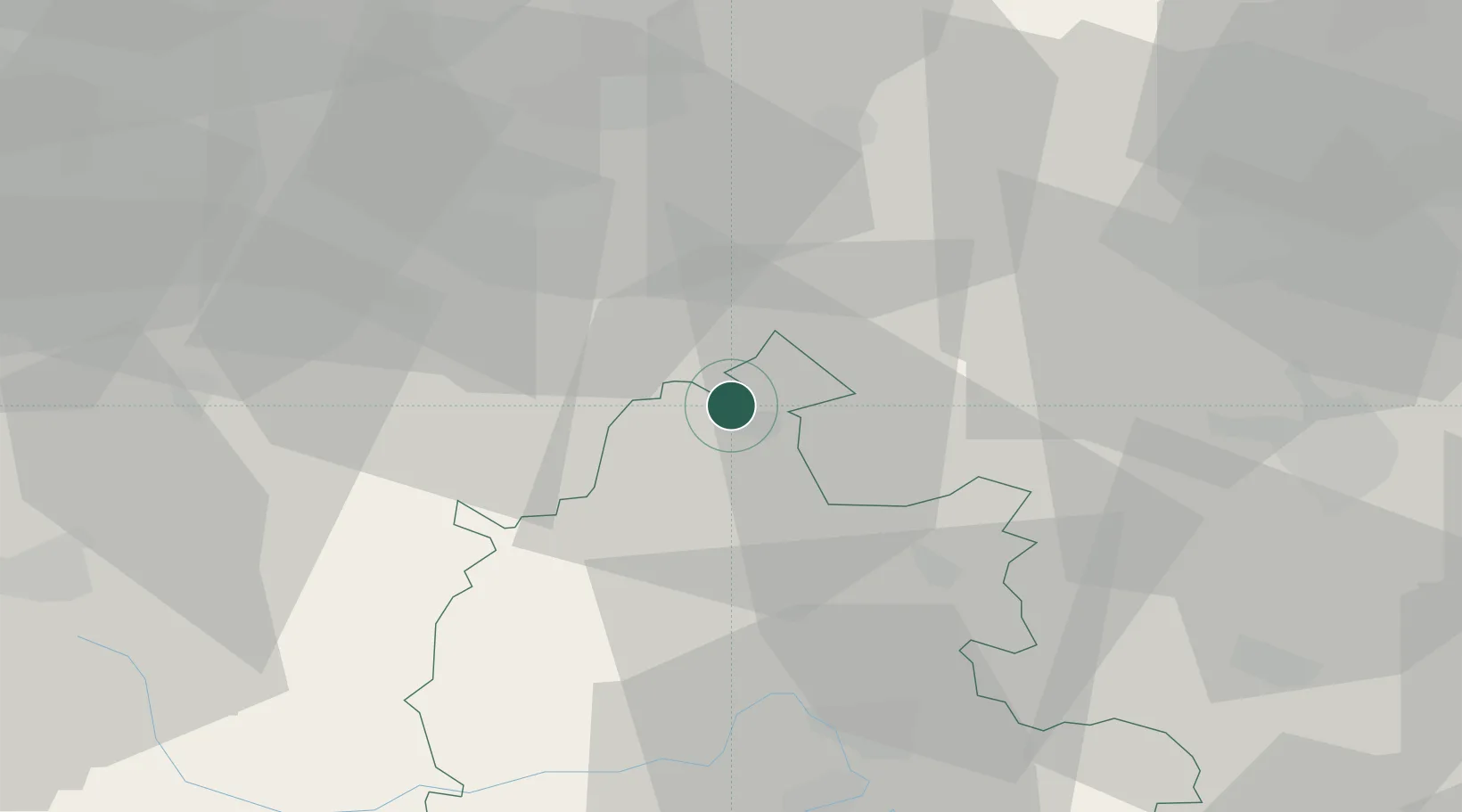
Hub Profile
Place type
Local administrative seat
Region
England
Time zone
Europe/London
Elevation
147 m
Location
Nearby Logistics Neighbours
Cities
- 1Fenny Compton8 km
- 2Gaydon12 km
- 3Oxhill12 km
- 4Wallesbourne Hastings19 km
- 5Napton on the Hill19 km
Airports
- 1London Oxford Airport28 km
- 2Coventry Airport33 km
- 3RAF Brize Norton40 km
- 4Birmingham Airport49 km
- 5Cranfield Airport51 km
Trade Zones
DatabookThe Record of Consolidated Knowledge
United Kingdom beyond logistics?