UN/LOCODE hub · United Kingdom
GBDBF
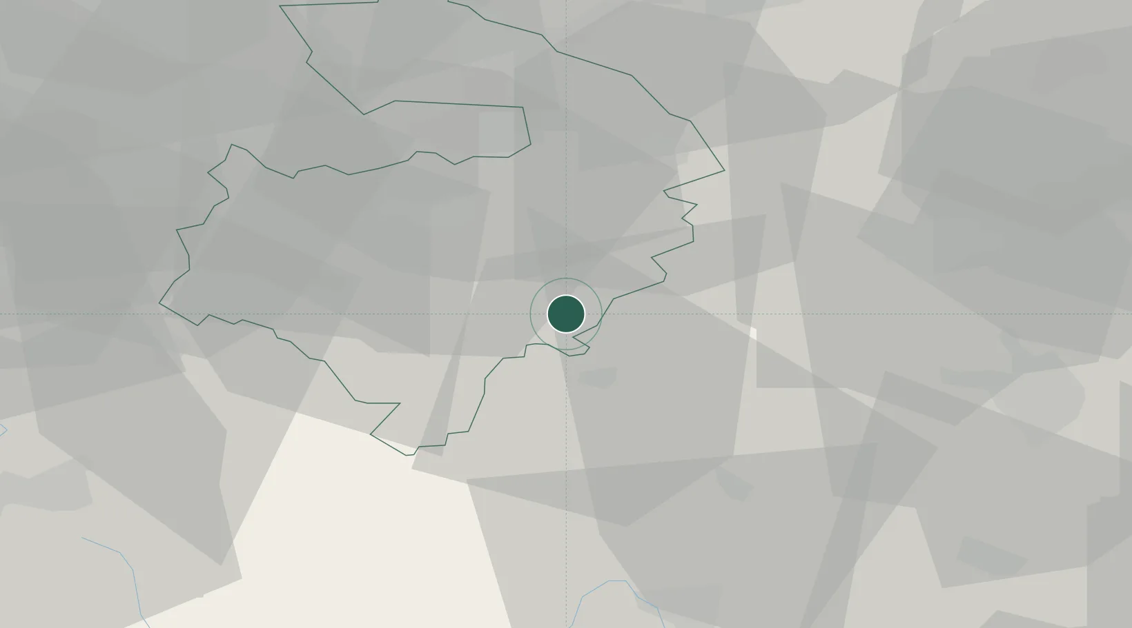
Fenny Compton
52.1500°, -1.3833°
808
Population
1
Transport functions
Transport Functions
Multimodal
Hub Profile
Place type
Populated place
Region
England
Population
808
Time zone
Europe/London
Elevation
117 m
Location
Nearby Logistics Neighbours
Cities
- 1Gaydon6 km
- 2Hanwell8 km
- 3Oxhill12 km
- 4Napton on the Hill12 km
- 5Wallesbourne Hastings14 km
Airports
- 1Coventry Airport25 km
- 2London Oxford Airport35 km
- 3Birmingham Airport42 km
- 4RAF Brize Norton47 km
- 5Cranfield Airport53 km
Trade Zones
DatabookThe Record of Consolidated Knowledge
United Kingdom beyond logistics?