Transport Functions
Road
Multimodal
Hub Profile
Place type
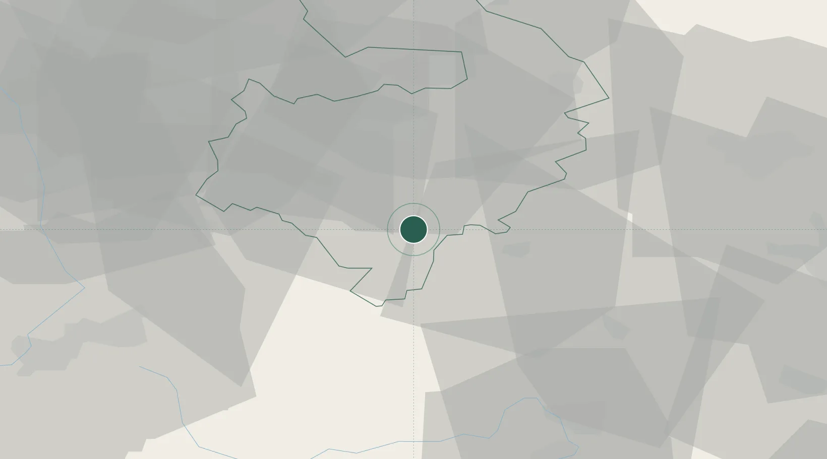
Populated place
Region
England
Population
305
Time zone
Europe/London
Elevation
94 m
Location
Nearby Logistics Neighbours
Cities
- 1Gaydon9 km
- 2Wallesbourne Hastings10 km
- 3Hanwell12 km
- 4Fenny Compton12 km
- 5Charlecote13 km
Airports
- 1Coventry Airport30 km
- 2London Oxford Airport33 km
- 3RAF Brize Norton39 km
- 4Birmingham Airport42 km
- 5Gloucestershire Airport49 km
Trade Zones
DatabookThe Record of Consolidated Knowledge
United Kingdom beyond logistics?