UN/LOCODE hub · United Kingdom
GBQGT

Wallesbourne Hastings

52.1833°, -1.5833°
2
Transport functions

Transport Functions

Port
Multimodal
UN/LOCODE

Hub Profile

Region
WAR
GeoNames

Location

Location of GBQGT
Natural Earth 10m (public domain) · WAR · GBQGT · 52.18, -1.58GoogleOSMYandex

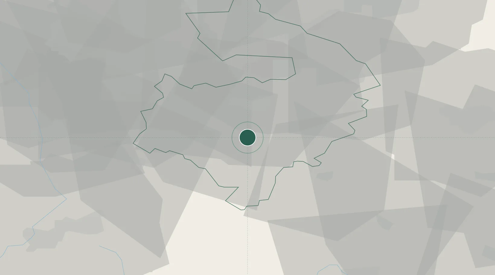
Nearby Logistics Neighbours

Cities
  1. 1Charlecote3 km
  2. 2Stratford-upon-Avon8 km
  3. 3Gaydon8 km
  4. 4Oxhill10 km
  5. 5Leamington13 km
Nearest neighbours — logibook spatial index (haversine) over the source coordinates
Ports
  1. 1Sharpness81 km
  2. 2Bristol108 km
  3. 3Avonmouth109 km
  4. 4Bird Port117 km
  5. 5Newport119 km
Nearest neighbours — logibook spatial index (haversine) over the source coordinates
Airports
  1. 1Coventry Airport22 km
  2. 2Birmingham Airport32 km
  3. 3London Oxford Airport43 km
  4. 4RAF Brize Norton48 km
  5. 5Gloucestershire Airport51 km
Nearest neighbours — logibook spatial index (haversine) over the source coordinates
Trade Zones
  1. 1Birmingham City Centre Enterprise Zone40 km
  2. 2Mira Technology Park42 km
  3. 3Northampton Waterside Enterprise Zone47 km
  4. 4Black Country Enterprise Zone54 km
  5. 5Loughborough Leicester Enterprise Zone59 km
Nearest neighbours — logibook spatial index (haversine) over the source coordinates
DatabookThe Record of Consolidated Knowledge
United Kingdom beyond logistics?
Browse databook

All Sources

LocationsUN/LOCODE
UN/LOCODE — free
Portsthe NGA World Port Index
Public domain (US gov)
AirportsOurAirports
Public domain
Trade Zonesthe World Bank SEZ database
CC BY 4.0
Trade ZonesOpen Zone Map
CC BY
← United Kingdom locations