Transport Functions
Rail
Road
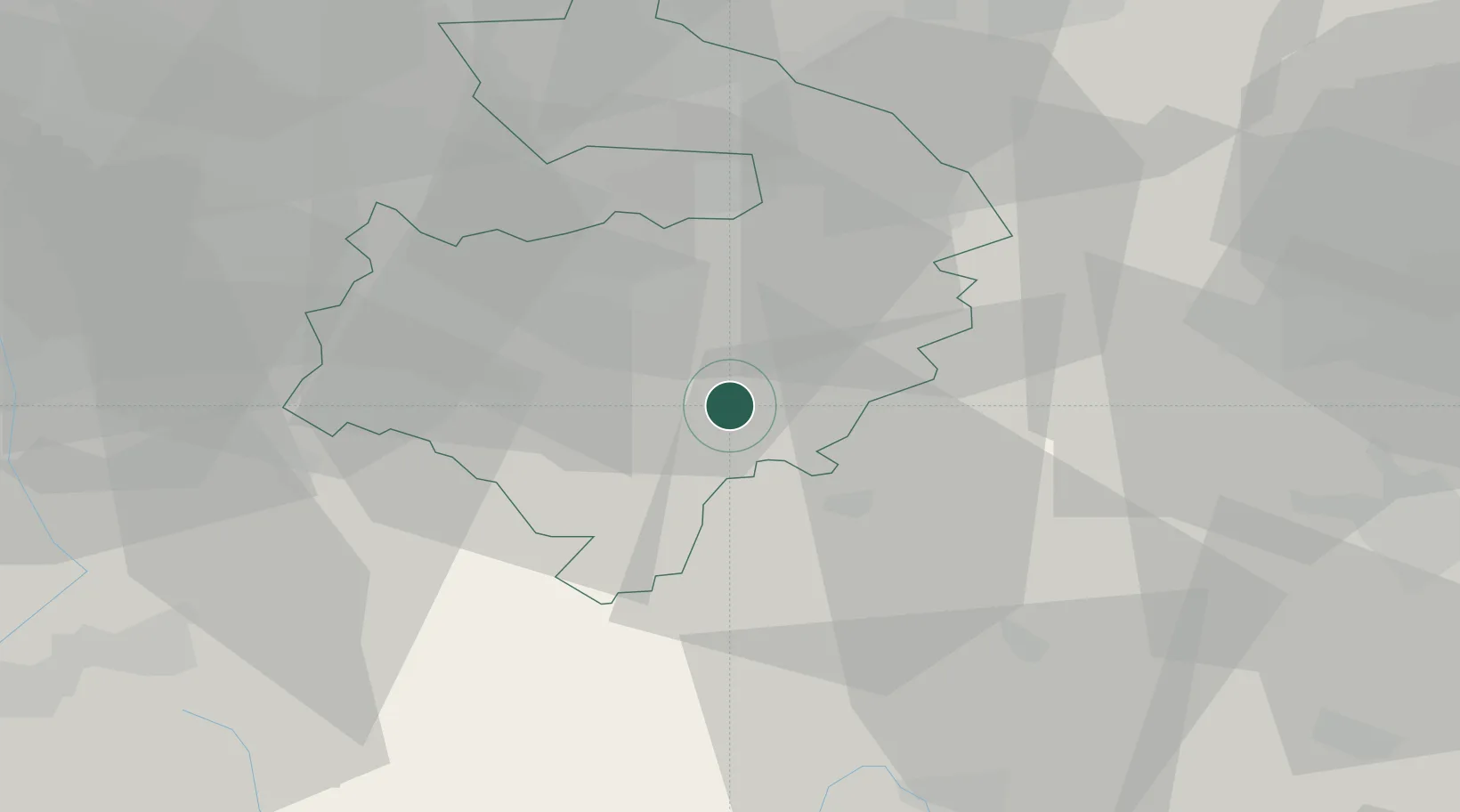
Hub Profile
Place type
Populated place
Region
England
Population
446
Time zone
Europe/London
Elevation
109 m
Location
Nearby Logistics Neighbours
Cities
- 1Fenny Compton6 km
- 2Wallesbourne Hastings8 km
- 3Oxhill9 km
- 4Charlecote11 km
- 5Hanwell12 km
Airports
- 1Coventry Airport23 km
- 2Birmingham Airport37 km
- 3London Oxford Airport38 km
- 4RAF Brize Norton47 km
- 5Gloucestershire Airport57 km
Trade Zones
DatabookThe Record of Consolidated Knowledge
United Kingdom beyond logistics?