UN/LOCODE hub · United Kingdom
GBCDX
Cheddington
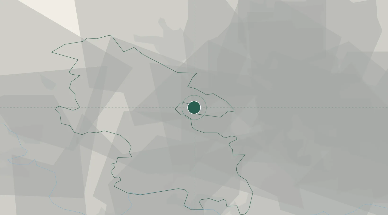
51.8333°, -0.6667°
1,634
Population
1
Transport functions
Transport Functions
Multimodal
Hub Profile
Place type
Populated place
Region
England
Population
1,634
Time zone
Europe/London
Elevation
107 m
Location
Nearby Logistics Neighbours
Cities
- 1Pitstone4 km
- 2Great Gaddesden13 km
- 3Luton16 km
- 4Haddenham19 km
- 5Little Chalfont20 km
Ports
- 1London55 km
- 2Tilbury80 km
- 3Gravesend83 km
- 4Chatham Docks97 km
- 5Isle Of Grain104 km
Airports
- 1London Luton Airport21 km
- 2Cranfield Airport27 km
- 3RAF Northolt36 km
- 4RAF Benson38 km
- 5London Heathrow Airport43 km
DatabookThe Record of Consolidated Knowledge
United Kingdom beyond logistics?