Transport Functions
Port
Multimodal
Hub Profile
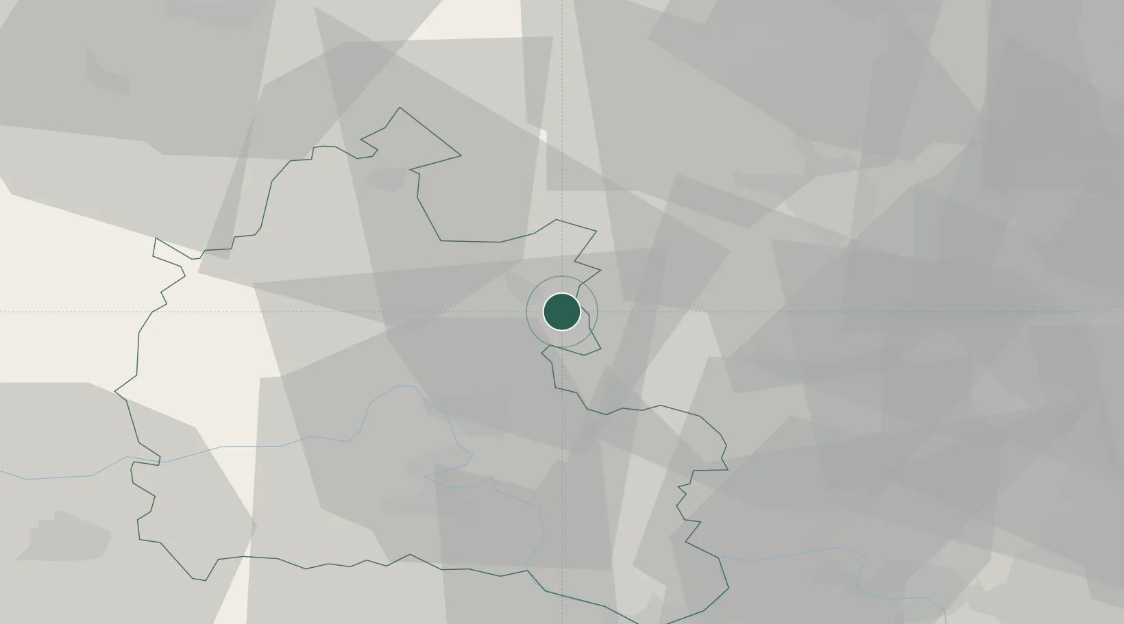
Place type
Populated place
Region
England
Time zone
Europe/London
Elevation
66 m
Location
Nearby Logistics Neighbours
Cities
- 1Bradfield6 km
- 2Ardley10 km
- 3Yarnton17 km
- 4Haddenham18 km
- 5Cassington20 km
Ports
- 1London82 km
- 2Sharpness97 km
- 3Tilbury109 km
- 4Southampton111 km
- 5Gravesend112 km
Airports
- 1London Oxford Airport16 km
- 2RAF Benson30 km
- 3RAF Brize Norton36 km
- 4Cranfield Airport39 km
- 5London Luton Airport50 km
DatabookThe Record of Consolidated Knowledge
United Kingdom beyond logistics?