UN/LOCODE hub · United Kingdom
GBPT2
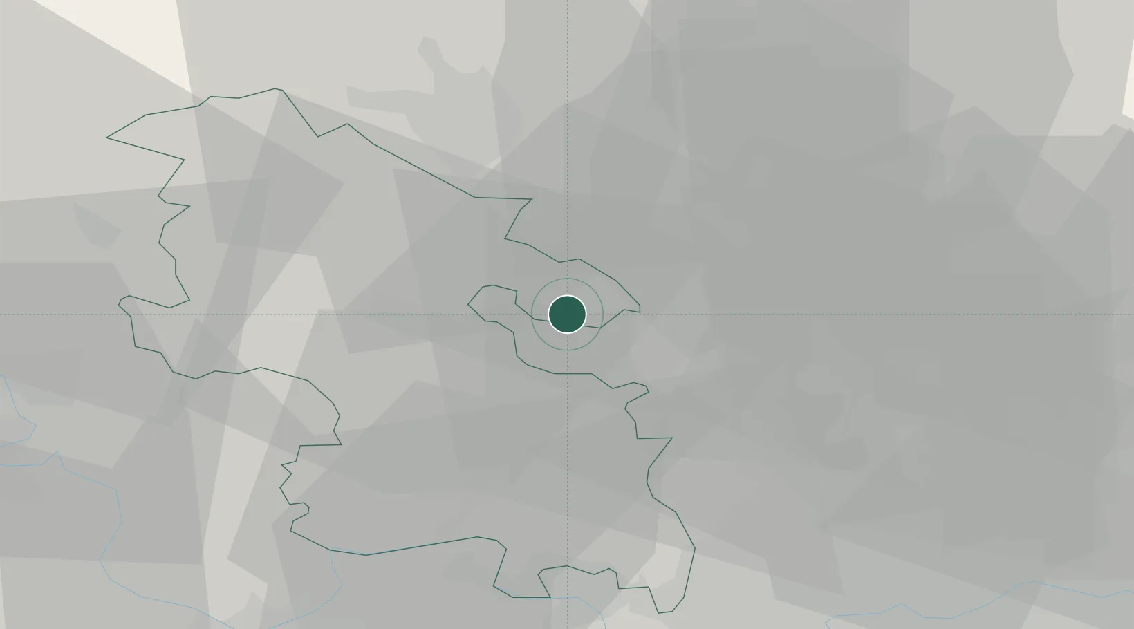
Pitstone
51.8167°, -0.6167°
3,674
Population
1
Transport functions
Transport Functions
Multimodal
Hub Profile
Place type
Populated place
Region
England
Population
3,674
Time zone
Europe/London
Elevation
115 m
Location
Nearby Logistics Neighbours
Cities
- 1Cheddington4 km
- 2Great Gaddesden9 km
- 3Luton15 km
- 4Little Chalfont17 km
- 5Haddenham21 km
Ports
- 1London51 km
- 2Tilbury76 km
- 3Gravesend79 km
- 4Chatham Docks93 km
- 5Isle Of Grain100 km
Airports
- 1London Luton Airport18 km
- 2Cranfield Airport28 km
- 3RAF Northolt32 km
- 4RAF Benson40 km
- 5London Heathrow Airport40 km
Trade Zones
DatabookThe Record of Consolidated Knowledge
United Kingdom beyond logistics?