Transport Functions
Multimodal
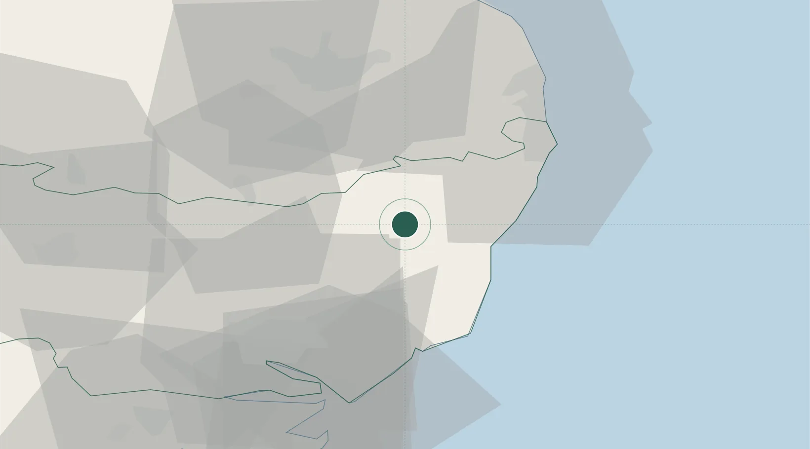
Hub Profile
Place type
Populated place
Region
England
Population
1,637
Time zone
Europe/London
Elevation
41 m
Location
Nearby Logistics Neighbours
Cities
- 1Darsham8 km
- 2Stradbroke13 km
- 3Dunwich13 km
- 4Marlesford17 km
- 5Sizewell Beach17 km
Ports
- 1Lowestoft28 km
- 2Ipswich35 km
- 3Great Yarmouth39 km
- 4Felixstowe42 km
- 5Harwich42 km
Airports
- 1Wattisham Airfield40 km
- 2Norwich Airport42 km
- 3RAF Honington46 km
- 4RAF Lakenheath61 km
- 5RAF Mildenhall66 km
Trade Zones
DatabookThe Record of Consolidated Knowledge
United Kingdom beyond logistics?