Transport Functions
Multimodal
Hub Profile
Place type
Populated place
Region
England
Time zone
Europe/London
Elevation
111 m
Logistics facilities
1
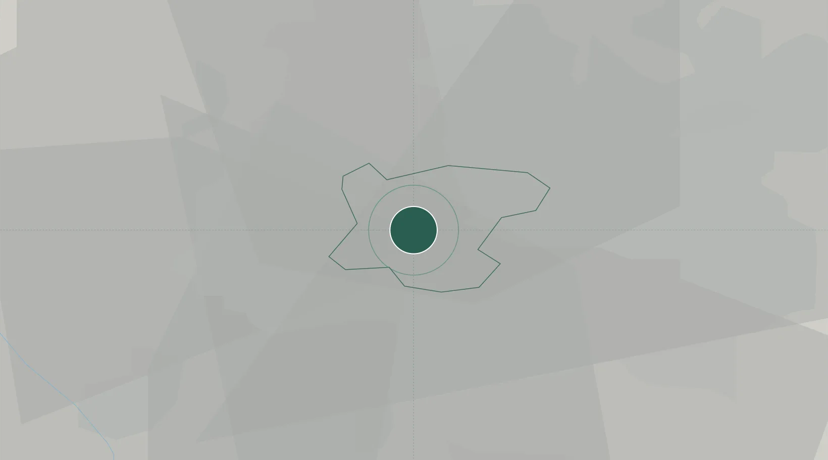
Location
Nearby Logistics Neighbours
Cities
- 1Tividale3 km
- 2Rowley Regis/West Bromwich4 km
- 3Blackheath5 km
- 4Handsworth6 km
- 5Coseley6 km
Ports
- 1Sharpness94 km
- 2Manchester109 km
- 3Garlston110 km
- 4Liverpool120 km
- 5Avonmouth122 km
Airports
- 1Birmingham Airport19 km
- 2RAF Cosford24 km
- 3Coventry Airport40 km
- 4RAF Shawbury54 km
- 5East Midlands Airport59 km
DatabookThe Record of Consolidated Knowledge
United Kingdom beyond logistics?