UN/LOCODE hub · United Kingdom
GBXKI
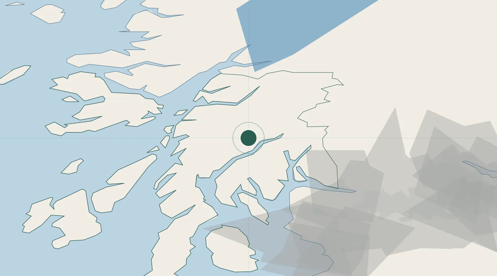
Kilbirnie
56.2500°, -5.1333°
7,520
Population
1
Transport functions
Transport Functions
Multimodal
Hub Profile
Place type
Populated place
Region
Scotland
Population
7,520
Time zone
Europe/London
Elevation
56 m
Location
Nearby Logistics Neighbours
Cities
- 1Inveraray5 km
- 2Furnace11 km
- 3Lochawe18 km
- 4Portincaple24 km
- 5Glenmallan25 km
Ports
- 1Finnart Oil Terminal24 km
- 2Oban28 km
- 3Faslane28 km
- 4Ardrishaig33 km
- 5Crinan (Canal)33 km
Airports
- 1Oban Airport29 km
- 2Glasgow Airport61 km
- 3Colonsay Airstrip72 km
- 4Glasgow Prestwick Airport90 km
- 5Islay Airport94 km
Trade Zones
DatabookThe Record of Consolidated Knowledge
United Kingdom beyond logistics?