Transport Functions
Port
Hub Profile
Place type
Populated place
Region
Scotland
Population
570
Time zone
Europe/London
Elevation
7 m
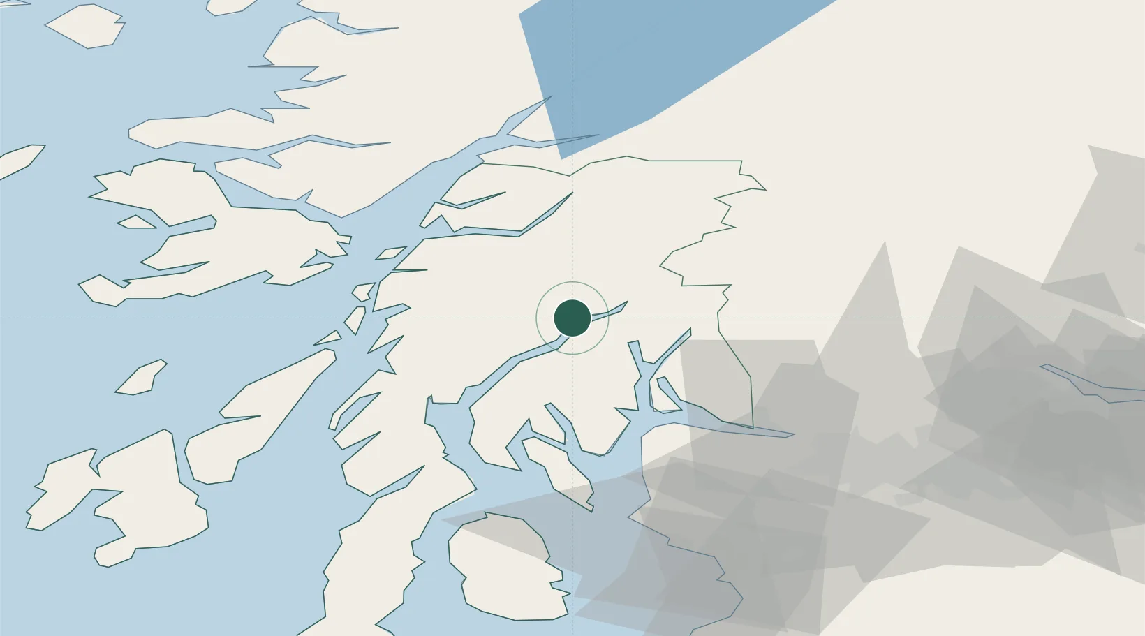
Location
Nearby Logistics Neighbours
Cities
- 1Kilbirnie5 km
- 2Furnace11 km
- 3Lochawe19 km
- 4Portincaple20 km
- 5Glenmallan20 km
Ports
- 1Finnart Oil Terminal19 km
- 2Faslane24 km
- 3Oban32 km
- 4Ardrishaig34 km
- 5Crinan (Canal)35 km
Airports
- 1Oban Airport33 km
- 2Glasgow Airport56 km
- 3Colonsay Airstrip75 km
- 4Glasgow Prestwick Airport87 km
- 5Islay Airport96 km
Trade Zones
DatabookThe Record of Consolidated Knowledge
United Kingdom beyond logistics?