Transport Functions
Multimodal
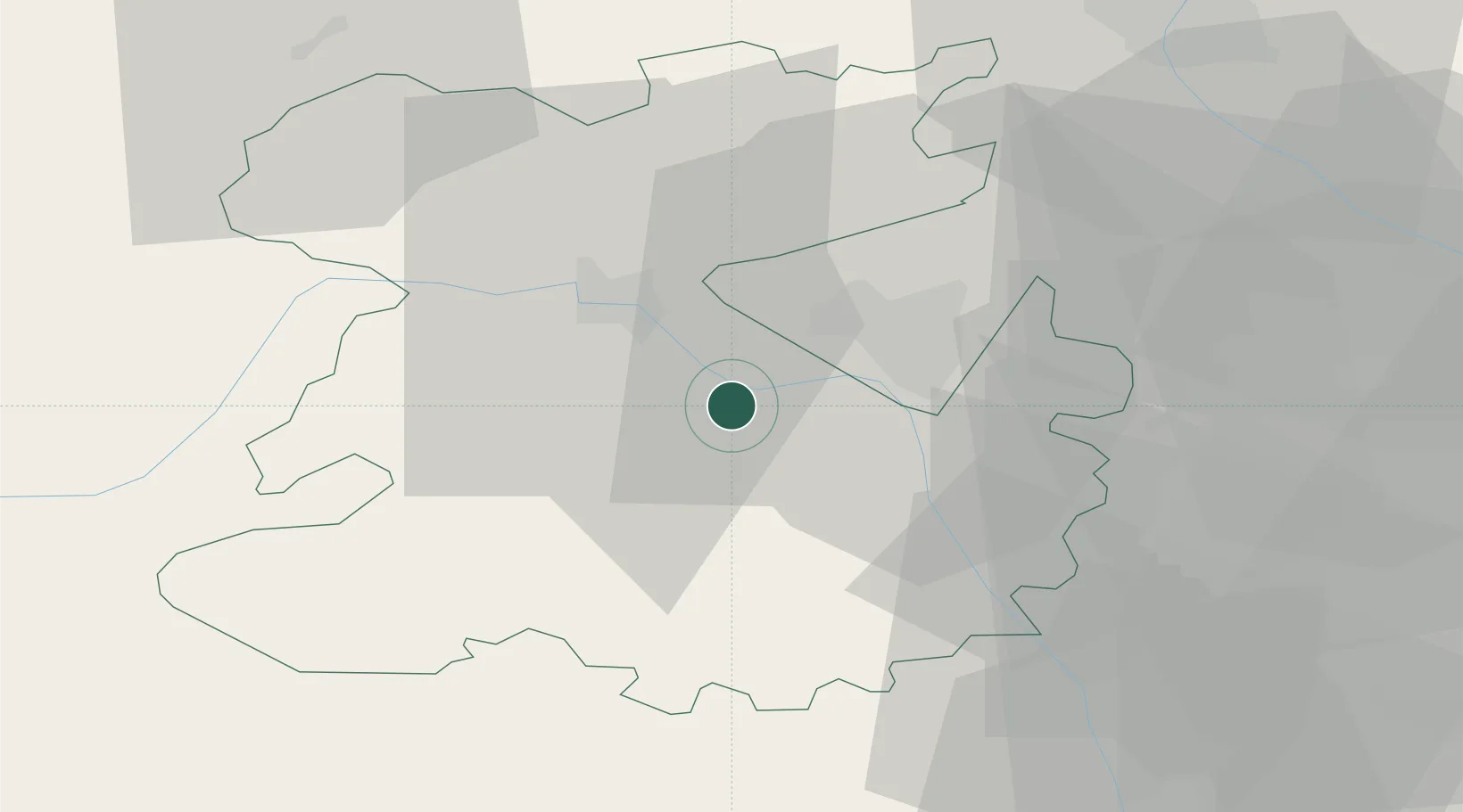
Hub Profile
Place type
Populated place
Region
England
Time zone
Europe/London
Elevation
210 m
Location
Nearby Logistics Neighbours
Cities
- 1Crudgington16 km
- 2Shifnal19 km
- 3Hilton22 km
- 4Stanlow23 km
- 5Norbury23 km
Ports
- 1Garlston84 km
- 2Mostyn89 km
- 3Liverpool92 km
- 4Manchester99 km
- 5Sharpness101 km
Airports
- 1RAF Shawbury20 km
- 2RAF Cosford22 km
- 3Birmingham Airport63 km
- 4Hawarden Airport67 km
- 5Liverpool John Lennon Airport81 km
Trade Zones
DatabookThe Record of Consolidated Knowledge
United Kingdom beyond logistics?