UN/LOCODE hub · United Kingdom
GBXDT
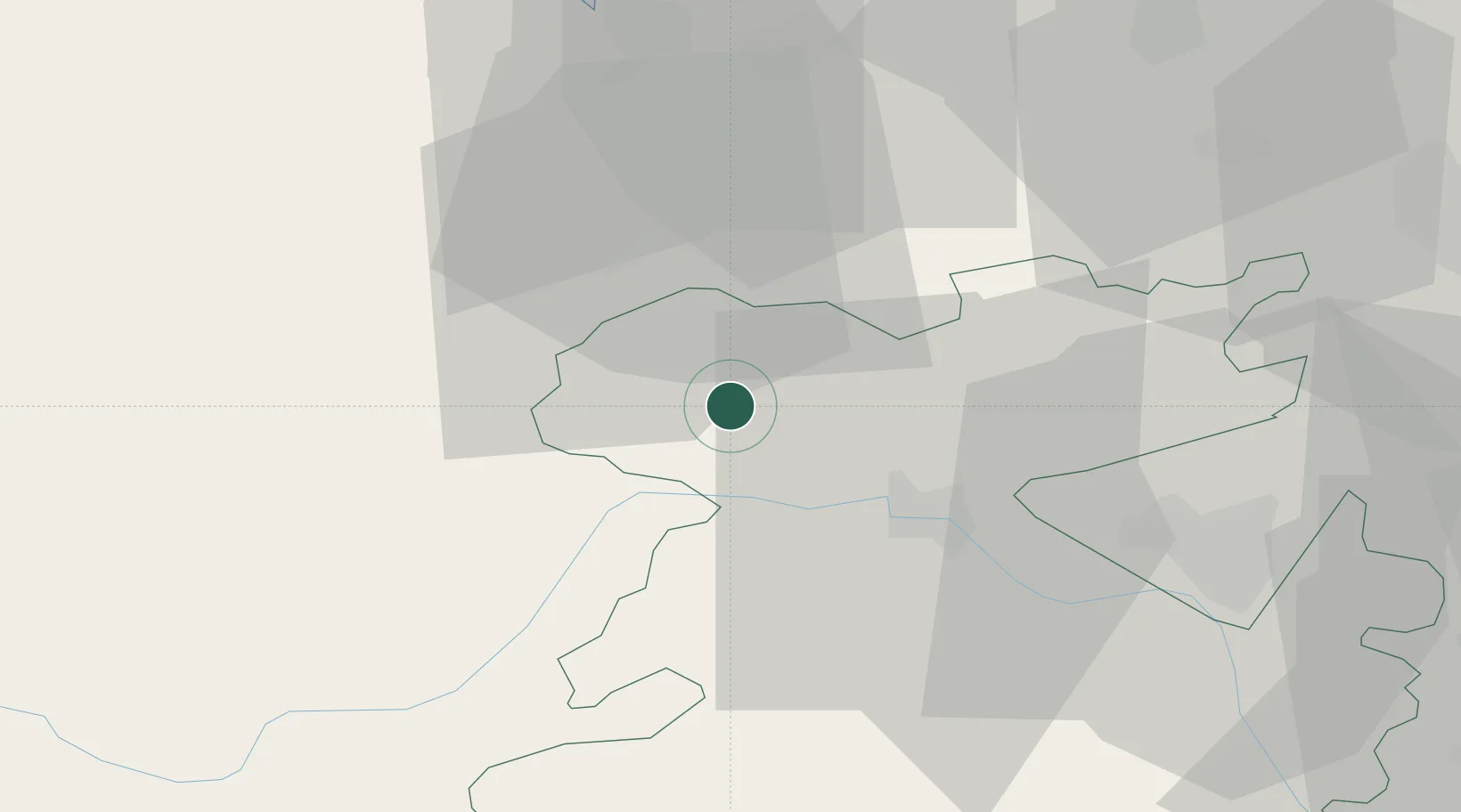
Ditton Priors
52.8333°, -2.9500°
821
Population
1
Transport functions
Transport Functions
Multimodal
Hub Profile
Place type
Populated place
Region
England
Population
821
Time zone
Europe/London
Elevation
229 m
Location
Nearby Logistics Neighbours
Cities
- 1Rednal2 km
- 2Cefn-Mawr17 km
- 3Malpas24 km
- 4Crudgington30 km
- 5Montgomery Trefaldwyn31 km
Ports
- 1Garlston58 km
- 2Mostyn58 km
- 3Liverpool65 km
- 4Manchester85 km
- 5Liverpool Bay Terminal88 km
Airports
- 1RAF Shawbury19 km
- 2Hawarden Airport38 km
- 3RAF Cosford48 km
- 4Liverpool John Lennon Airport56 km
- 5Manchester Airport73 km
Trade Zones
DatabookThe Record of Consolidated Knowledge
United Kingdom beyond logistics?