Transport Functions
Port
Rail
Road
Multimodal
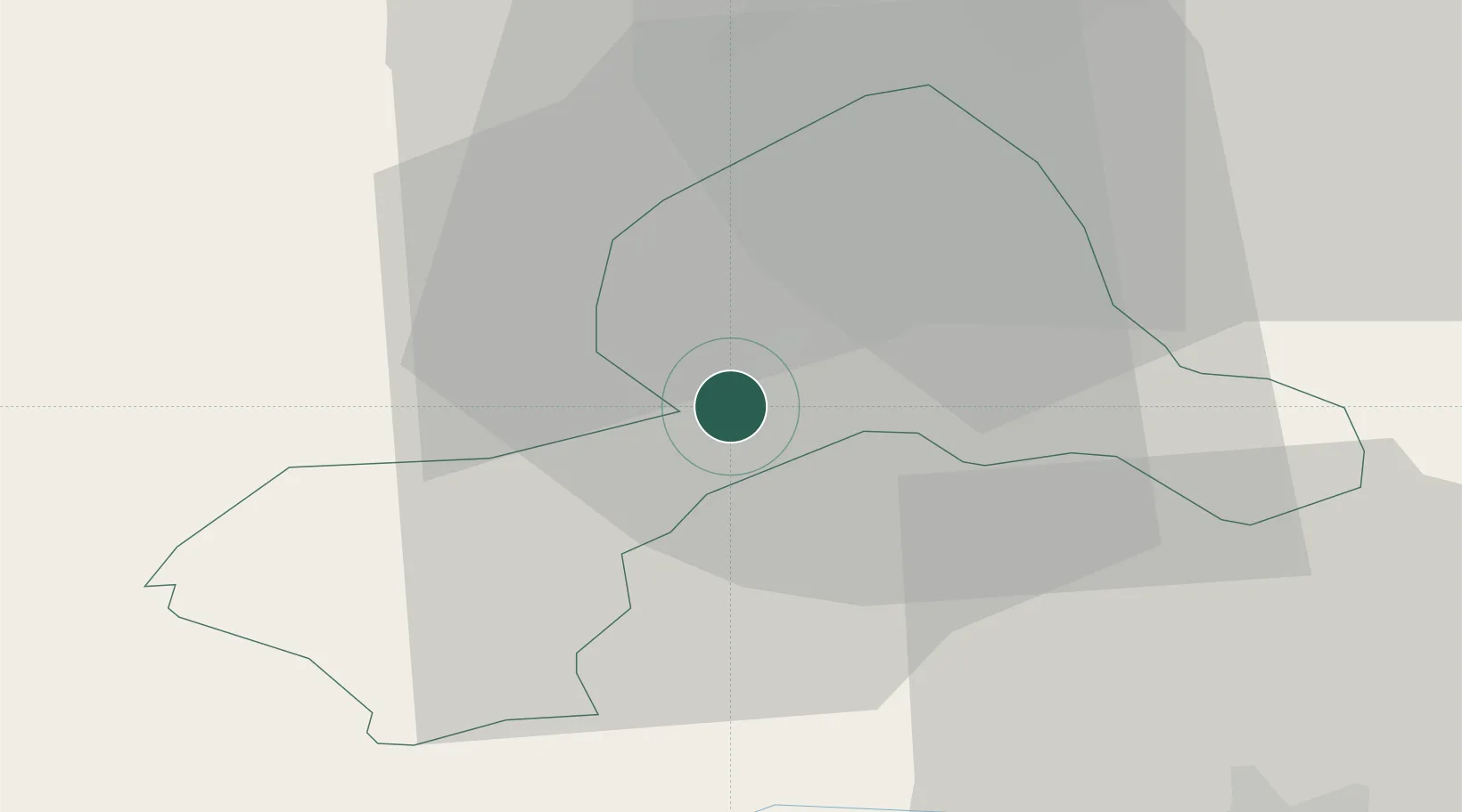
Hub Profile
Place type
Populated place
Region
Wales
Time zone
Europe/London
Elevation
138 m
Location
Nearby Logistics Neighbours
Cities
- 1Rednal16 km
- 2Ditton Priors17 km
- 3Hope17 km
- 4Malpas21 km
- 5Corwen21 km
Ports
- 1Mostyn41 km
- 2Garlston44 km
- 3Liverpool50 km
- 4Liverpool Bay Terminal71 km
- 5Manchester78 km
Airports
- 1Hawarden Airport24 km
- 2RAF Shawbury33 km
- 3Liverpool John Lennon Airport43 km
- 4RAF Cosford63 km
- 5Manchester Airport68 km
Trade Zones
DatabookThe Record of Consolidated Knowledge
United Kingdom beyond logistics?