Transport Functions
Road
Multimodal
Hub Profile
Place type
Populated place
Region
England
Time zone
Europe/London
Elevation
90 m
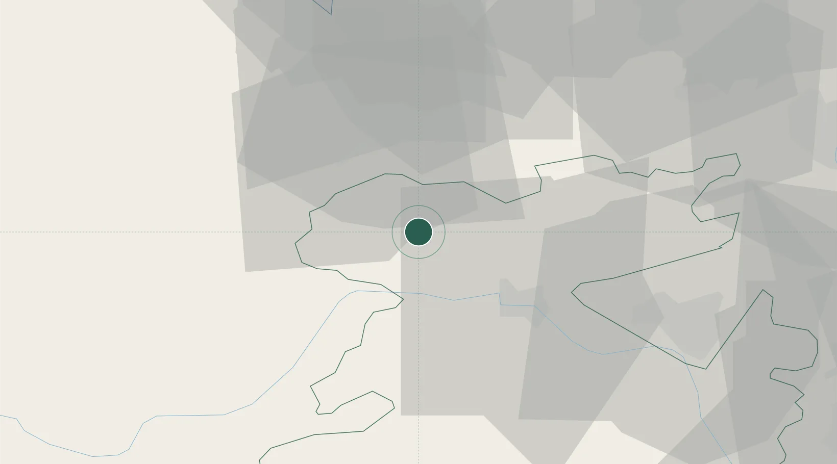
Location
Nearby Logistics Neighbours
Cities
- 1Ditton Priors2 km
- 2Cefn-Mawr16 km
- 3Malpas22 km
- 4Crudgington29 km
- 5Hope30 km
Ports
- 1Garlston56 km
- 2Mostyn57 km
- 3Liverpool63 km
- 4Manchester83 km
- 5Liverpool Bay Terminal86 km
Airports
- 1RAF Shawbury19 km
- 2Hawarden Airport37 km
- 3RAF Cosford48 km
- 4Liverpool John Lennon Airport54 km
- 5Manchester Airport71 km
Trade Zones
DatabookThe Record of Consolidated Knowledge
United Kingdom beyond logistics?