Transport Functions
Road
Multimodal
Hub Profile
Place type
District seat
Region
England
Population
1,321
Time zone
Europe/London
Elevation
100 m
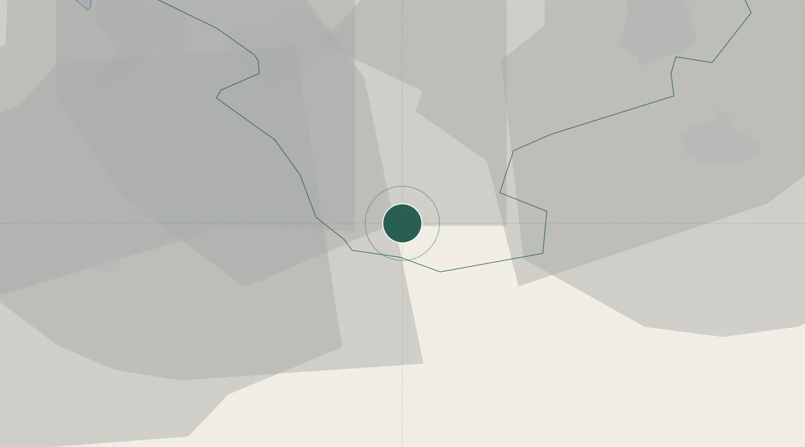
Location
Nearby Logistics Neighbours
Cities
- 1Tattenhall11 km
- 2Oakamoor16 km
- 3Wardle17 km
- 4Cefn-Mawr21 km
- 5Hope21 km
Ports
- 1Garlston38 km
- 2Liverpool47 km
- 3Mostyn47 km
- 4Manchester62 km
- 5Liverpool Bay Terminal78 km
Airports
- 1Hawarden Airport23 km
- 2RAF Shawbury25 km
- 3Liverpool John Lennon Airport36 km
- 4Manchester Airport49 km
- 5RAF Cosford52 km
Trade Zones
DatabookThe Record of Consolidated Knowledge
United Kingdom beyond logistics?