UN/LOCODE hub · United Kingdom
GBXBY
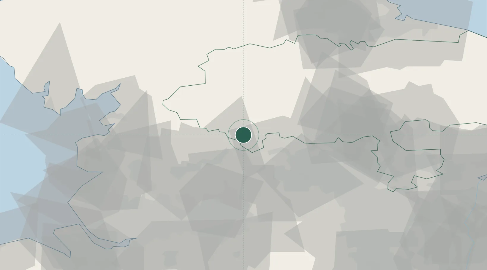
Denby Dale
53.9500°, -2.0833°
3,043
Population
1
Transport functions
Transport Functions
Multimodal
Hub Profile
Place type
Populated place
Region
England
Population
3,043
Time zone
Europe/London
Elevation
166 m
Location
Nearby Logistics Neighbours
Cities
- 1Embsay7 km
- 2Cross Hills9 km
- 3Halton West12 km
- 4Gisburn12 km
- 5Keighley13 km
Ports
- 1Lancaster47 km
- 2Manchester53 km
- 3Heysham55 km
- 4Fleetwood61 km
- 5Barrow In Furness77 km
Airports
- 1Leeds Bradford Airport29 km
- 2RAF Leeming52 km
- 3RAF Topcliffe54 km
- 4Warton Aerodrome57 km
- 5Leeds East Airport60 km
Trade Zones
DatabookThe Record of Consolidated Knowledge
United Kingdom beyond logistics?