Transport Functions
Rail
Road
Multimodal
Hub Profile
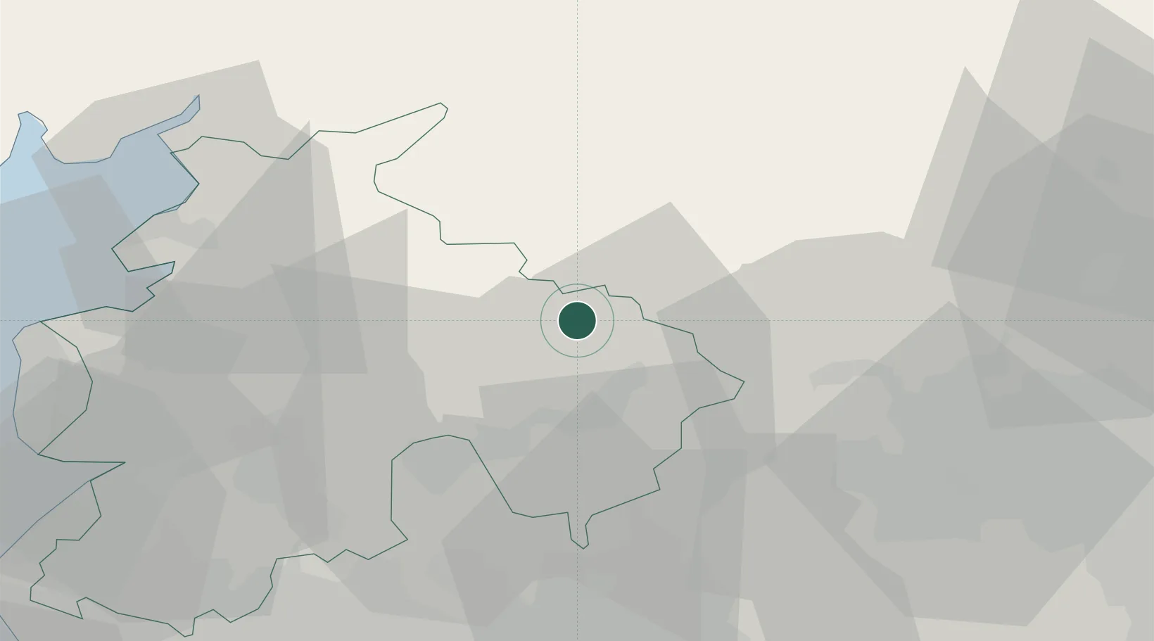
Place type
Populated place
Region
England
Population
521
Time zone
Europe/London
Elevation
140 m
Location
Nearby Logistics Neighbours
Cities
- 1Halton West6 km
- 2Denby Dale12 km
- 3Brierfield13 km
- 4Simonstone16 km
- 5Whalley16 km
Ports
- 1Lancaster36 km
- 2Heysham44 km
- 3Fleetwood49 km
- 4Manchester50 km
- 5Barrow In Furness66 km
Airports
- 1Leeds Bradford Airport40 km
- 2Warton Aerodrome46 km
- 3Blackpool Airport53 km
- 4RAF Leeming62 km
- 5Manchester Airport65 km
Trade Zones
DatabookThe Record of Consolidated Knowledge
United Kingdom beyond logistics?