Transport Functions
Multimodal
Hub Profile
Place type
Populated place
Region
England
Population
1,679
Time zone
Europe/London
Elevation
147 m
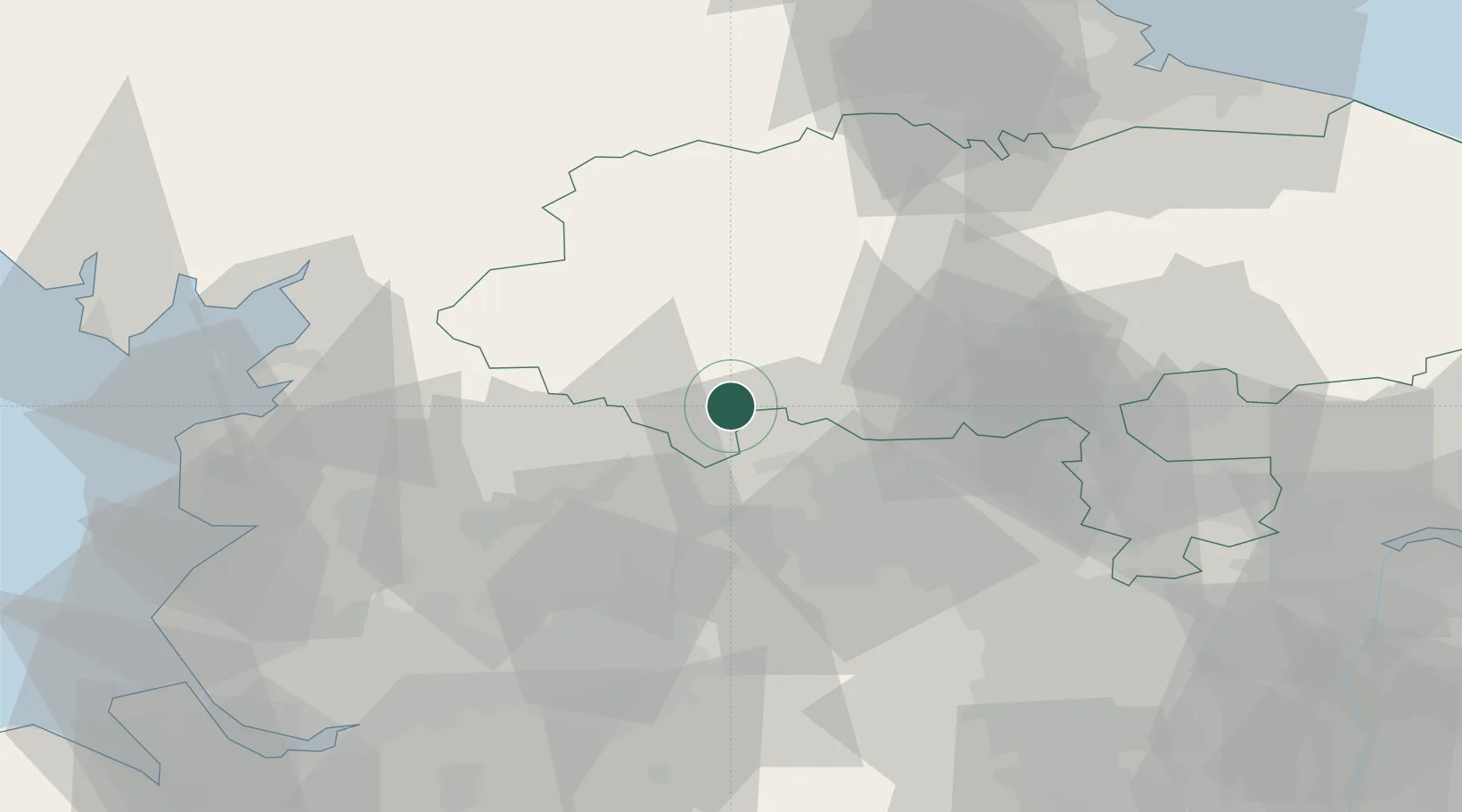
Location
Nearby Logistics Neighbours
Cities
- 1Denby Dale7 km
- 2Cross Hills7 km
- 3Keighley10 km
- 4Bingley16 km
- 5Haworth17 km
Ports
- 1Lancaster53 km
- 2Manchester57 km
- 3Heysham61 km
- 4Fleetwood68 km
- 5Howdendyke77 km
Airports
- 1Leeds Bradford Airport24 km
- 2RAF Leeming47 km
- 3RAF Topcliffe47 km
- 4Leeds East Airport54 km
- 5Warton Aerodrome64 km
Trade Zones
DatabookThe Record of Consolidated Knowledge
United Kingdom beyond logistics?