UN/LOCODE hub · United Kingdom
GBUXB
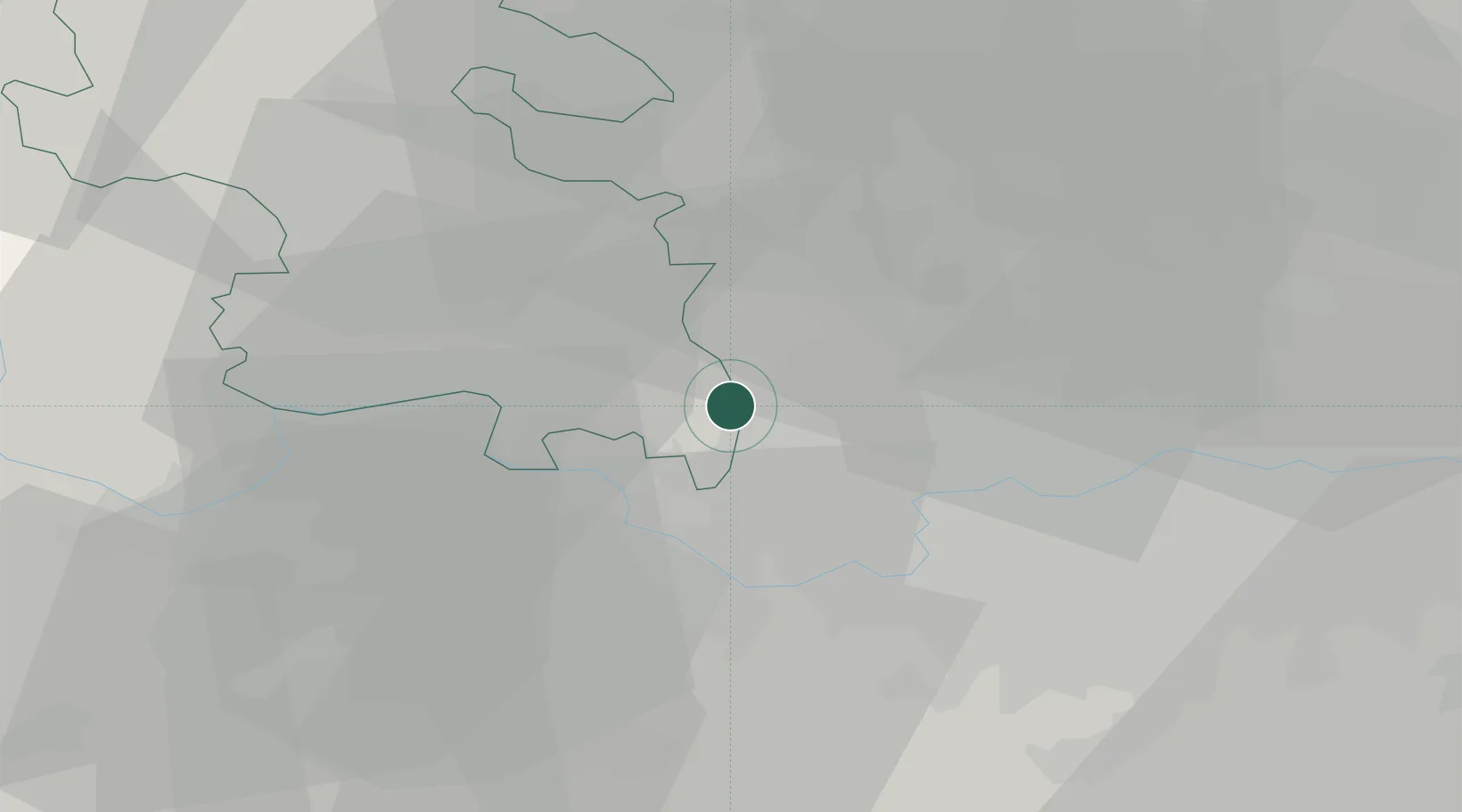
Uxbridge
51.5500°, -0.4833°
70,000
Population
2
Transport functions
Transport Functions
Rail
Road
Hub Profile
Place type
District seat
Region
England
Population
70,000
Time zone
Europe/London
Elevation
40 m
Location
Nearby Logistics Neighbours
Cities
- 1Hackney1 km
- 2Harefield6 km
- 3Stoke Poges8 km
- 4Upton8 km
- 5Harlington8 km
Ports
- 1London28 km
- 2Tilbury57 km
- 3Gravesend60 km
- 4Chatham Docks74 km
- 5Isle Of Grain83 km
Airports
- 1RAF Northolt5 km
- 2London Heathrow Airport9 km
- 3Blackbushe Airport36 km
- 4Farnborough Airport37 km
- 5London Luton Airport37 km
Trade Zones
DatabookThe Record of Consolidated Knowledge
United Kingdom beyond logistics?