Transport Functions
Rail
Road
Hub Profile
Place type
District seat
Region
England
Time zone
Europe/London
Elevation
19 m
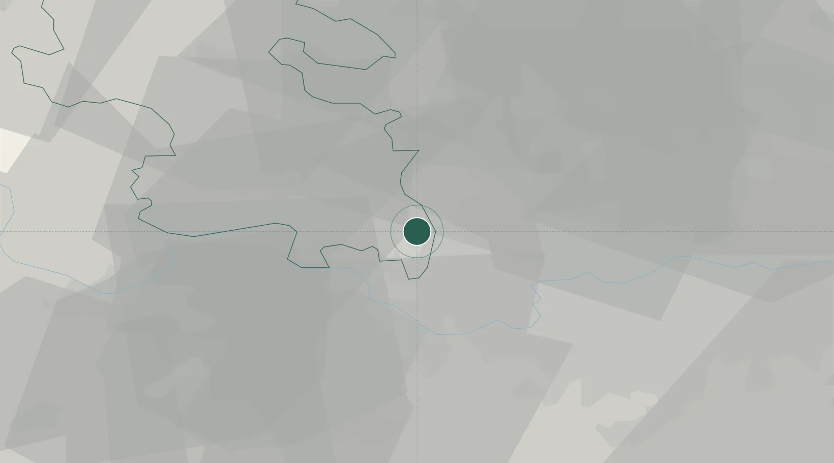
Location
Nearby Logistics Neighbours
Cities
- 1Uxbridge1 km
- 2Harefield6 km
- 3Stoke Poges7 km
- 4Upton7 km
- 5Harlington9 km
Ports
- 1London29 km
- 2Tilbury58 km
- 3Gravesend61 km
- 4Chatham Docks75 km
- 5Shoreham Harbour83 km
Airports
- 1RAF Northolt6 km
- 2London Heathrow Airport9 km
- 3Blackbushe Airport35 km
- 4Farnborough Airport36 km
- 5London Luton Airport37 km
Trade Zones
DatabookThe Record of Consolidated Knowledge
United Kingdom beyond logistics?