UN/LOCODE hub · United Kingdom
GBRTW

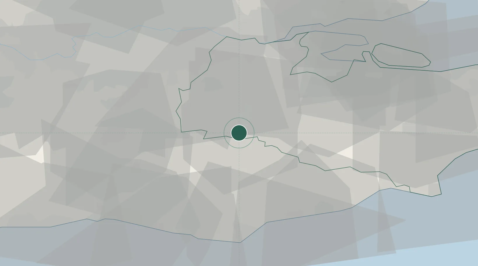
Royal Tunbridge Wells

51.1333°, 0.2667°
68,910
Population
2
Transport functions

Transport Functions

Rail
Road
UN/LOCODE

Hub Profile

Place type
Populated place
GeoNames
Region
England
GeoNames
Population
68,910
GeoNames
Time zone
Europe/London
GeoNames
Elevation
118 m
GeoNames

Location

Location of GBRTW
Natural Earth 10m (public domain) · England · GBRTW · 51.13, 0.27GoogleOSMYandex

Nearby Logistics Neighbours

Cities
  1. 1Cousley Wood7 km
  2. 2Five Oak Green8 km
  3. 3Chiddingstone Causeway9 km
  4. 4Weald11 km
  5. 5Upper Hartfield13 km
Nearest neighbours — logibook spatial index (haversine) over the source coordinates
Ports
  1. 1Chatham Docks36 km
  2. 2Gravesend36 km
  3. 3Tilbury37 km
  4. 4Rye Harbour41 km
  5. 5Newhaven Harbour42 km
Nearest neighbours — logibook spatial index (haversine) over the source coordinates
Airports
  1. 1London Biggin Hill Airport27 km
  2. 2London Gatwick Airport32 km
  3. 3London City Airport44 km
  4. 4Lydd London Ashford Airport51 km
  5. 5Brighton City Airport52 km
Nearest neighbours — logibook spatial index (haversine) over the source coordinates
Trade Zones
  1. 1Port of Tilbury Free Zone37 km
  2. 2London Royal Docks Enterprise Zone45 km
  3. 3Port of Sheerness Free Zone48 km
  4. 4Harlow Enterprise Zone72 km
  5. 5Discovery Park - Sandwich Enterprise Zone77 km
Nearest neighbours — logibook spatial index (haversine) over the source coordinates
DatabookThe Record of Consolidated Knowledge
United Kingdom beyond logistics?
Browse databook

All Sources

LocationsUN/LOCODE
UN/LOCODE — free
LocationsGeoNames
CC BY 4.0
Portsthe NGA World Port Index
Public domain (US gov)
AirportsOurAirports
Public domain
Trade Zonesthe World Bank SEZ database
CC BY 4.0
Trade ZonesOpen Zone Map
CC BY
← United Kingdom locations