Transport Functions
Rail
Road
Hub Profile
Place type
Urban district
Region
England
Time zone
Europe/London
Elevation
123 m
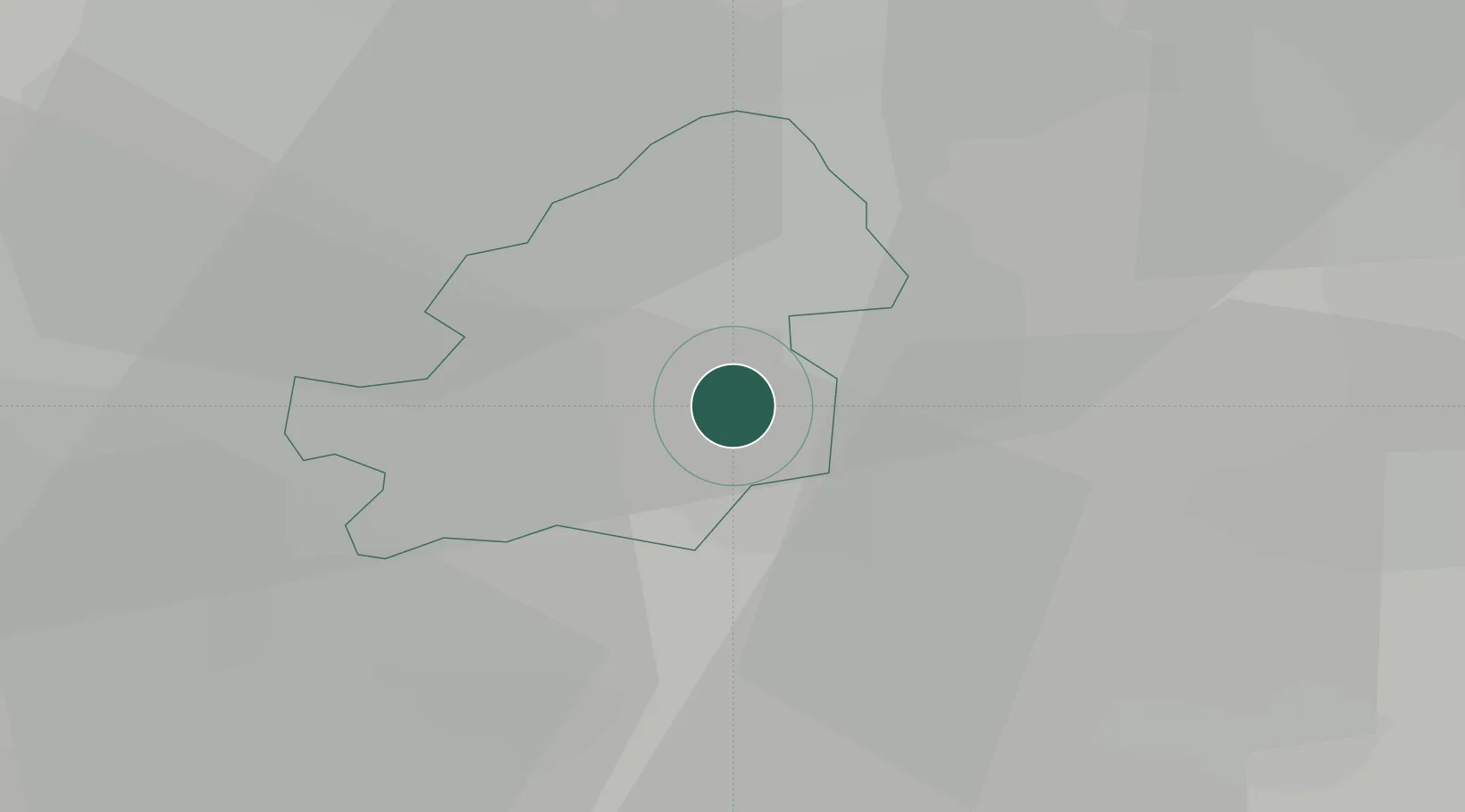
Location
Nearby Logistics Neighbours
Cities
- 1Small Heath0 km
- 2Sheldon3 km
- 3Stechford4 km
- 4Balsall Heath5 km
- 5Perry Barr8 km
Ports
- 1Sharpness93 km
- 2Manchester119 km
- 3Avonmouth122 km
- 4Bristol123 km
- 5Garlston124 km
Airports
- 1Birmingham Airport5 km
- 2Coventry Airport25 km
- 3RAF Cosford39 km
- 4East Midlands Airport54 km
- 5Gloucestershire Airport66 km
Trade Zones
DatabookThe Record of Consolidated Knowledge
United Kingdom beyond logistics?