Transport Functions
Rail
Road
Hub Profile
Place type
Populated place
Region
England
Time zone
Europe/London
Elevation
104 m
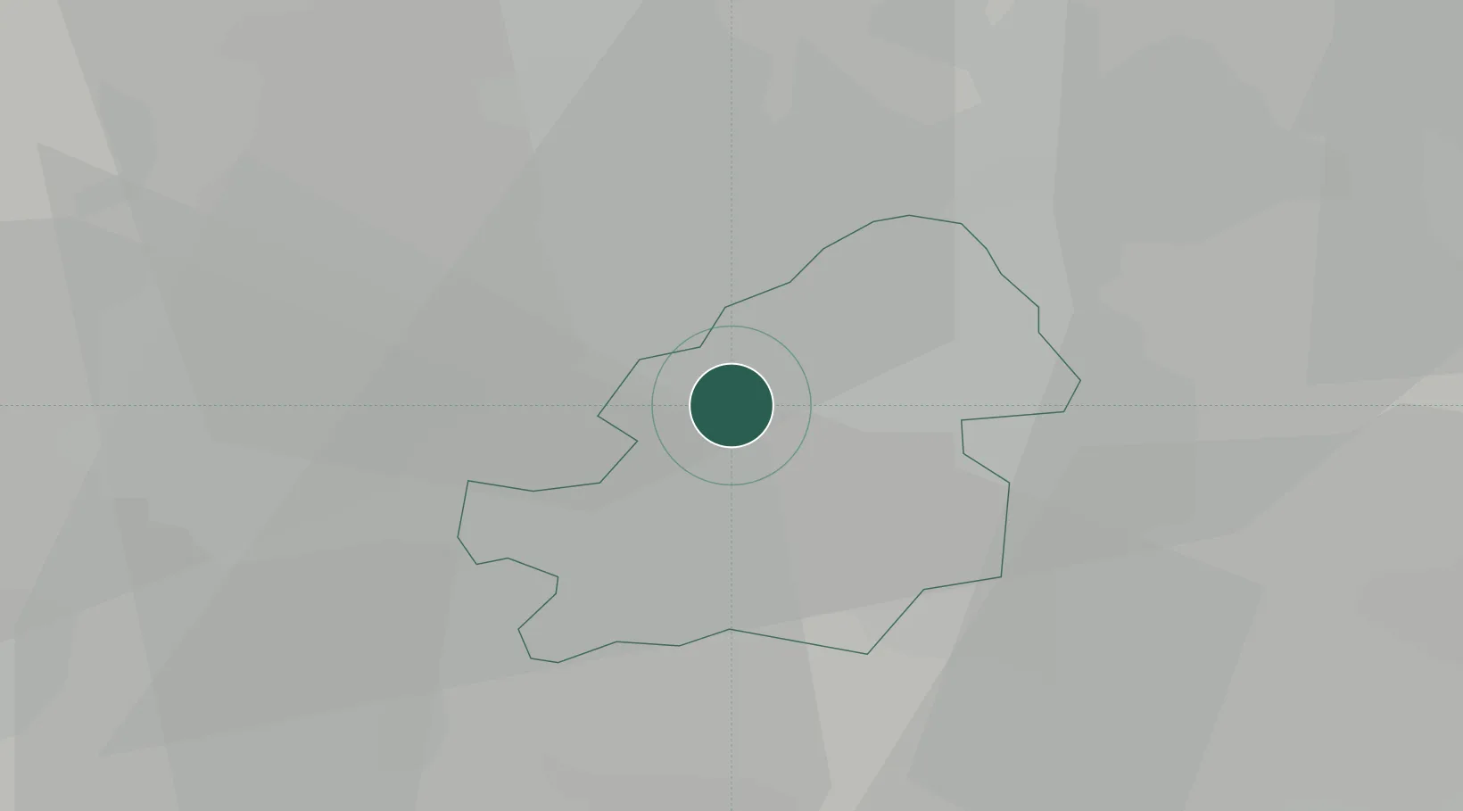
Location
Nearby Logistics Neighbours
Cities
- 1Hockley1 km
- 2Handsworth2 km
- 3Balsall Heath6 km
- 4Erdington7 km
- 5Stechford7 km
Ports
- 1Sharpness96 km
- 2Manchester112 km
- 3Garlston116 km
- 4Avonmouth125 km
- 5Bristol125 km
Airports
- 1Birmingham Airport12 km
- 2RAF Cosford32 km
- 3Coventry Airport32 km
- 4East Midlands Airport53 km
- 5RAF Shawbury62 km
Trade Zones
DatabookThe Record of Consolidated Knowledge
United Kingdom beyond logistics?