Transport Functions
Rail
Road
Hub Profile
Place type
Populated place
Region
England
Time zone
Europe/London
Elevation
42 m
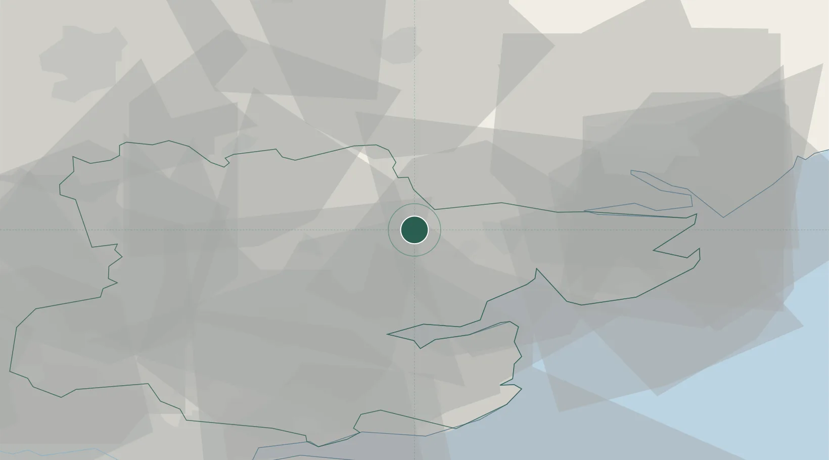
Location
Nearby Logistics Neighbours
Cities
- 1Thorpe Bay4 km
- 2Earls Colne5 km
- 3Pitsea6 km
- 4Castle Hedingham13 km
- 5Hatfield Peverel18 km
Ports
- 1Colchester12 km
- 2Ipswich32 km
- 3Harwich37 km
- 4Felixstowe39 km
- 5Sheerness52 km
Airports
- 1Wattisham Airfield27 km
- 2London Stansted Airport36 km
- 3London Southend Airport39 km
- 4RAF Honington47 km
- 5Cambridge City Airport51 km
Trade Zones
DatabookThe Record of Consolidated Knowledge
United Kingdom beyond logistics?