Transport Functions
Rail
Road
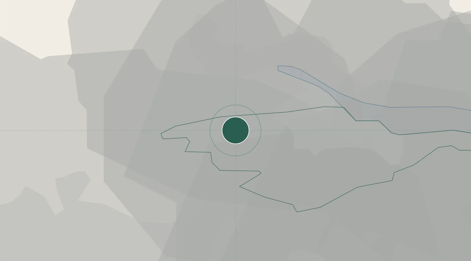
Hub Profile
Place type
Populated place
Region
Scotland
Population
7,860
Time zone
Europe/London
Elevation
49 m
Location
Nearby Logistics Neighbours
Cities
- 1Bannockburn8 km
- 2Cowie8 km
- 3Grangemounth10 km
- 4Redding11 km
- 5Stirling12 km
Ports
- 1Grangemouth11 km
- 2Rosyth29 km
- 3Glasgow29 km
- 4Hound Point Terminal33 km
- 5Renfrew34 km
Airports
- 1Edinburgh Airport34 km
- 2Glasgow Airport37 km
- 3Glasgow Prestwick Airport71 km
- 4Dundee Airport73 km
- 5Leuchars Station Airfield75 km
Trade Zones
DatabookThe Record of Consolidated Knowledge
United Kingdom beyond logistics?