Transport Functions
Port
Hub Profile
Place type
Populated place
Region
England
Time zone
Europe/London
Elevation
101 m
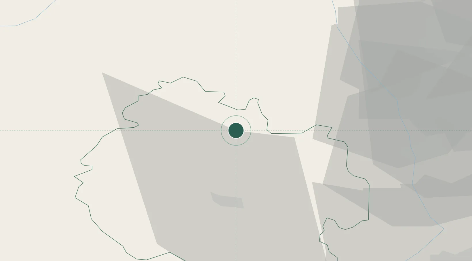
Location
Nearby Logistics Neighbours
Cities
- 1Tenbury10 km
- 2Shobdon11 km
- 3Pembridge14 km
- 4Moreton on Lugg17 km
- 5Bishops Frome19 km
Airports
- 1RAF Cosford51 km
- 2Gloucestershire Airport54 km
- 3RAF Shawbury61 km
- 4Birmingham Airport69 km
- 5Coventry Airport84 km
Trade Zones
DatabookThe Record of Consolidated Knowledge
United Kingdom beyond logistics?