UN/LOCODE hub · United Kingdom
GBUHD
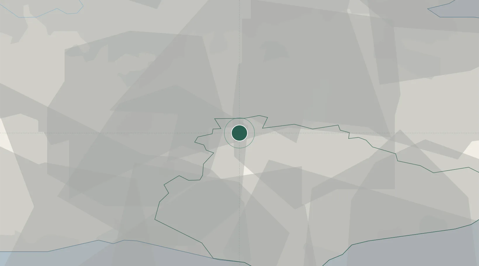
Upper Hartfield
51.1000°, 0.0833°
985
Population
2
Transport functions
Transport Functions
Road
Multimodal
Hub Profile
Place type
Populated place
Region
England
Population
985
Time zone
Europe/London
Elevation
106 m
Location
Nearby Logistics Neighbours
Cities
- 1Felbridge8 km
- 2Sharpthorne9 km
- 3New Chapel12 km
- 4Chiddingstone Causeway13 km
- 5Royal Tunbridge Wells13 km
Ports
- 1Newhaven Harbour35 km
- 2Shoreham Harbour39 km
- 3Gravesend44 km
- 4Tilbury44 km
- 5London46 km
Airports
- 1London Gatwick Airport20 km
- 2London Biggin Hill Airport26 km
- 3Brighton City Airport40 km
- 4London City Airport45 km
- 5London Heathrow Airport56 km
Trade Zones
DatabookThe Record of Consolidated Knowledge
United Kingdom beyond logistics?