Transport Functions
Rail
Road
Multimodal
Hub Profile
Place type
Populated place
Region
England
Time zone
Europe/London
Elevation
60 m
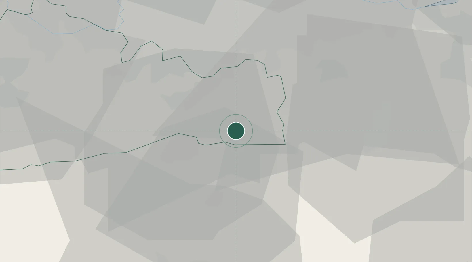
Location
Nearby Logistics Neighbours
Cities
- 1Felbridge6 km
- 2Salfords11 km
- 3Sharpthorne11 km
- 4Upper Hartfield12 km
- 5Chiddingstone Causeway17 km
Ports
- 1London37 km
- 2Shoreham Harbour41 km
- 3Tilbury43 km
- 4Gravesend43 km
- 5Newhaven Harbour43 km
Airports
- 1London Gatwick Airport10 km
- 2London Biggin Hill Airport19 km
- 3London City Airport38 km
- 4Brighton City Airport41 km
- 5London Heathrow Airport44 km
Trade Zones
DatabookThe Record of Consolidated Knowledge
United Kingdom beyond logistics?