Transport Functions
Road
Multimodal
Hub Profile
Place type
Populated place
Region
England
Time zone
Europe/London
Elevation
186 m
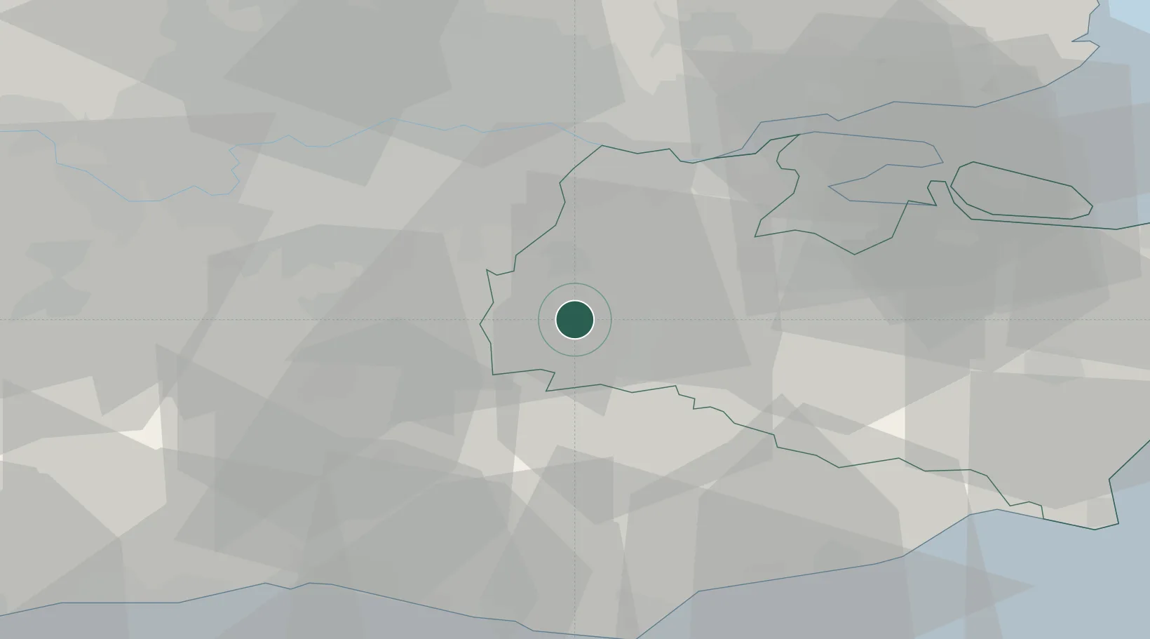
Location
Nearby Logistics Neighbours
Cities
- 1Chiddingstone Causeway2 km
- 2Kemsing10 km
- 3Royal Tunbridge Wells11 km
- 4Shoreham11 km
- 5Five Oak Green12 km
Ports
- 1Gravesend29 km
- 2Tilbury30 km
- 3Chatham Docks33 km
- 4London37 km
- 5Isle Of Grain43 km
Airports
- 1London Biggin Hill Airport17 km
- 2London Gatwick Airport27 km
- 3London City Airport33 km
- 4London Heathrow Airport53 km
- 5London Southend Airport53 km
Trade Zones
DatabookThe Record of Consolidated Knowledge
United Kingdom beyond logistics?