Transport Functions
Rail
Road
Hub Profile
Place type
Populated place
Region
England
Time zone
Europe/London
Elevation
48 m
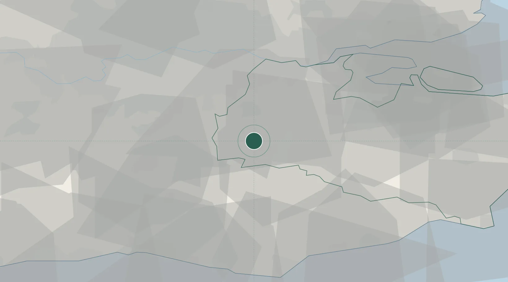
Location
Nearby Logistics Neighbours
Cities
- 1Weald2 km
- 2Royal Tunbridge Wells9 km
- 3Kemsing11 km
- 4Five Oak Green12 km
- 5Shoreham13 km
Ports
- 1Gravesend31 km
- 2Tilbury31 km
- 3Chatham Docks34 km
- 4London38 km
- 5Isle Of Grain44 km
Airports
- 1London Biggin Hill Airport18 km
- 2London Gatwick Airport26 km
- 3London City Airport35 km
- 4Brighton City Airport53 km
- 5London Heathrow Airport54 km
Trade Zones
DatabookThe Record of Consolidated Knowledge
United Kingdom beyond logistics?