UN/LOCODE hub · United Kingdom
GBFOG
Five Oak Green
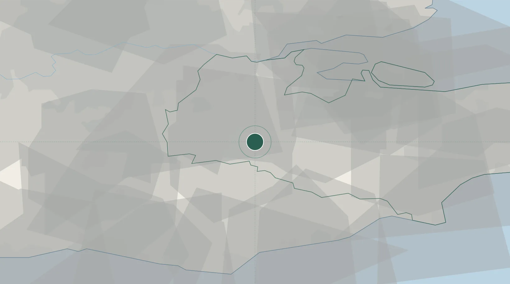
51.1833°, 0.3500°
1,540
Population
2
Transport functions
Transport Functions
Rail
Road
Hub Profile
Place type
Populated place
Region
England
Population
1,540
Time zone
Europe/London
Elevation
20 m
Location
Nearby Logistics Neighbours
Cities
- 1Royal Tunbridge Wells8 km
- 2Cousley Wood11 km
- 3West Malling12 km
- 4Chiddingstone Causeway12 km
- 5Weald12 km
Ports
- 1Chatham Docks28 km
- 2Gravesend30 km
- 3Tilbury32 km
- 4Isle Of Grain37 km
- 5Thamesport37 km
Airports
- 1London Biggin Hill Airport28 km
- 2London Gatwick Airport38 km
- 3London City Airport41 km
- 4Lydd London Ashford Airport48 km
- 5London Southend Airport49 km
Trade Zones
DatabookThe Record of Consolidated Knowledge
United Kingdom beyond logistics?