UN/LOCODE hub · United Kingdom
GBRRI

Cerrigdrudion

53.1667°, -3.5500°
2
Transport functions

Transport Functions

Road
Multimodal
UN/LOCODE

Hub Profile

Region
CWY
GeoNames

Location

Location of GBRRI
Natural Earth 10m (public domain) · CWY · GBRRI · 53.17, -3.55GoogleOSMYandex

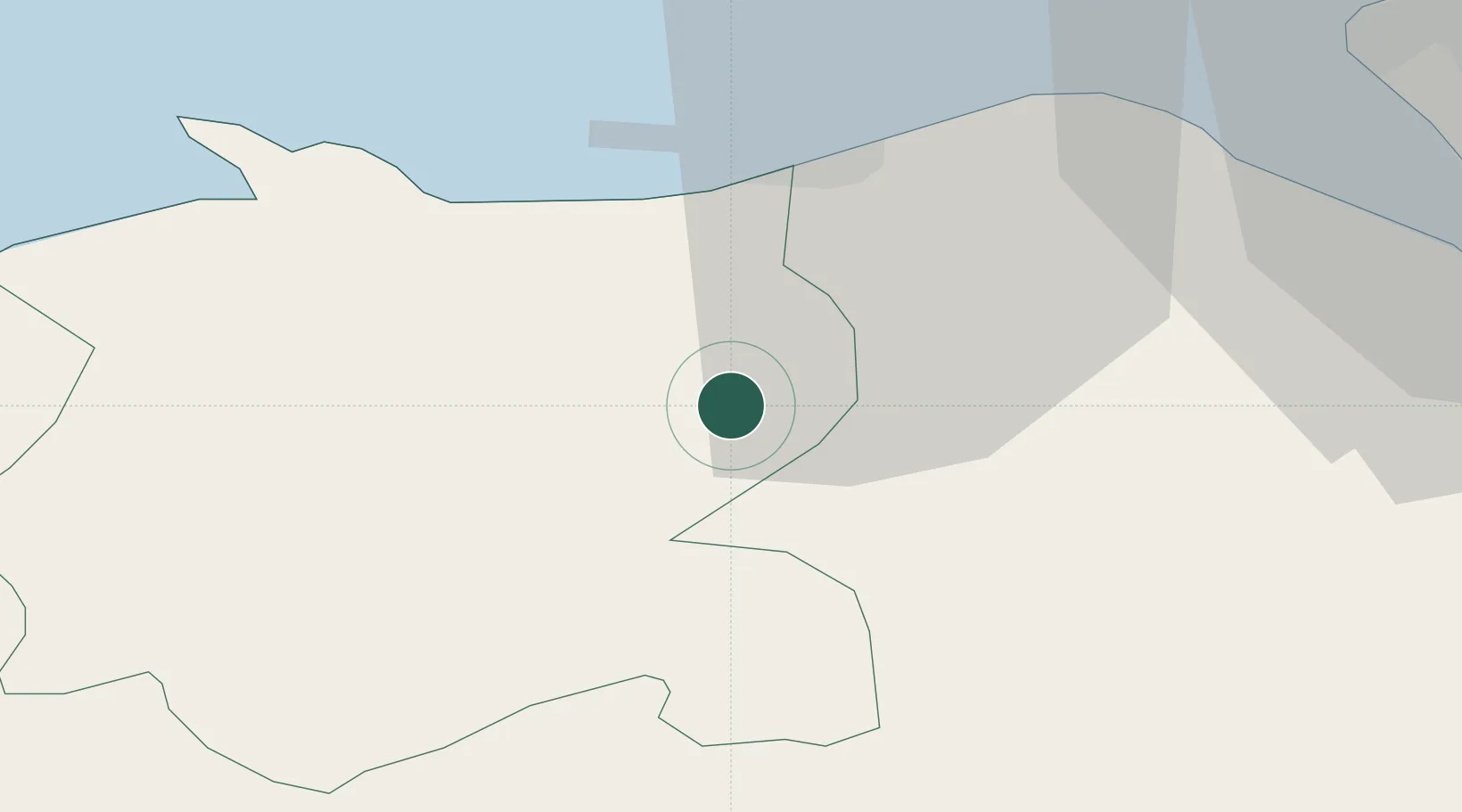
Nearby Logistics Neighbours

Cities
  1. 1Kinmel10 km
  2. 2Llandyrnog13 km
  3. 3Abergele13 km
  4. 4Llanddulas14 km
  5. 5Talbot Green16 km
Nearest neighbours — logibook spatial index (haversine) over the source coordinates
Ports
  1. 1Mostyn25 km
  2. 2Liverpool Bay Terminal41 km
  3. 3Liverpool46 km
  4. 4Garlston48 km
  5. 5Caernarvon48 km
Nearest neighbours — logibook spatial index (haversine) over the source coordinates
Airports
  1. 1Hawarden Airport38 km
  2. 2Liverpool John Lennon Airport50 km
  3. 3Anglesey Airport66 km
  4. 4RAF Shawbury72 km
  5. 5Blackpool Airport76 km
Nearest neighbours — logibook spatial index (haversine) over the source coordinates
Trade Zones
  1. 1Mersey Waters Enterprise Zone44 km
  2. 2Cheshire Science Corridor48 km
  3. 3Liverpool Free Zone57 km
  4. 4Sci-Tech Daresbury Enterprise Zone64 km
  5. 5Blackpool Enterprise Zone75 km
Nearest neighbours — logibook spatial index (haversine) over the source coordinates
DatabookThe Record of Consolidated Knowledge
United Kingdom beyond logistics?
Browse databook

All Sources

LocationsUN/LOCODE
UN/LOCODE — free
Portsthe NGA World Port Index
Public domain (US gov)
AirportsOurAirports
Public domain
Trade Zonesthe World Bank SEZ database
CC BY 4.0
Trade ZonesOpen Zone Map
CC BY
← United Kingdom locations