Transport Functions
Road
Multimodal
Hub Profile
Place type
Populated place
Region
Wales
Time zone
Europe/London
Elevation
118 m
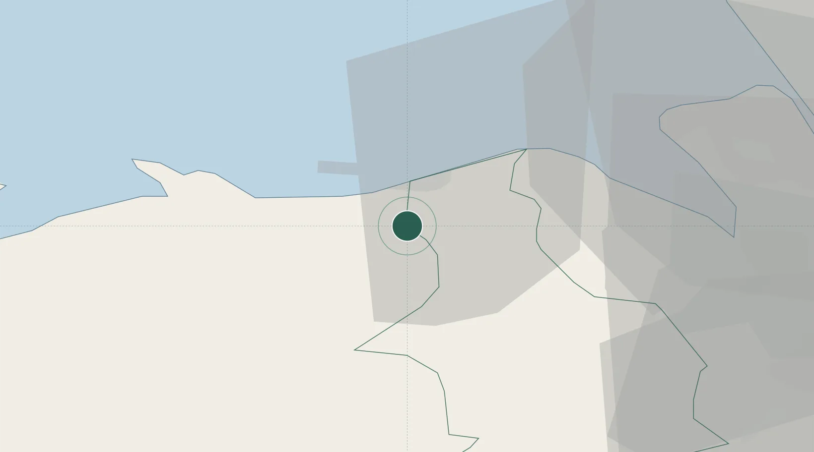
Location
Nearby Logistics Neighbours
Cities
- 1Llandyrnog5 km
- 2Abergele6 km
- 3Llanddulas9 km
- 4Cerrigdrudion10 km
- 5Colwyn Bay (Bae Colwyn)15 km
Ports
- 1Mostyn18 km
- 2Liverpool Bay Terminal32 km
- 3Liverpool39 km
- 4Garlston43 km
- 5Caernarvon51 km
Airports
- 1Hawarden Airport37 km
- 2Liverpool John Lennon Airport45 km
- 3Blackpool Airport66 km
- 4Anglesey Airport68 km
- 5Warton Aerodrome69 km
Trade Zones
DatabookThe Record of Consolidated Knowledge
United Kingdom beyond logistics?