Transport Functions
Multimodal
Hub Profile
Place type
Populated place
Region
England
Time zone
Europe/London
Elevation
32 m
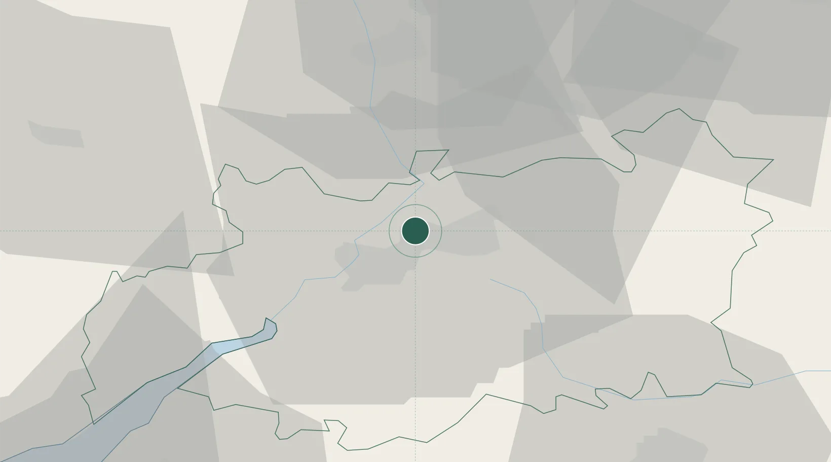
Location
Nearby Logistics Neighbours
Airports
- 1Gloucestershire Airport3 km
- 2RAF Fairford37 km
- 3RAF Brize Norton44 km
- 4London Oxford Airport59 km
- 5Birmingham Airport66 km
Trade Zones
DatabookThe Record of Consolidated Knowledge
United Kingdom beyond logistics?