UN/LOCODE hub · United Kingdom
GBACU

Ashchurch

51.9833°, -2.1000°
1
Transport functions

Transport Functions

Rail
UN/LOCODE

Hub Profile

Region
GLS
GeoNames

Location

Location of GBACU
Natural Earth 10m (public domain) · GLS · GBACU · 51.98, -2.10GoogleOSMYandex

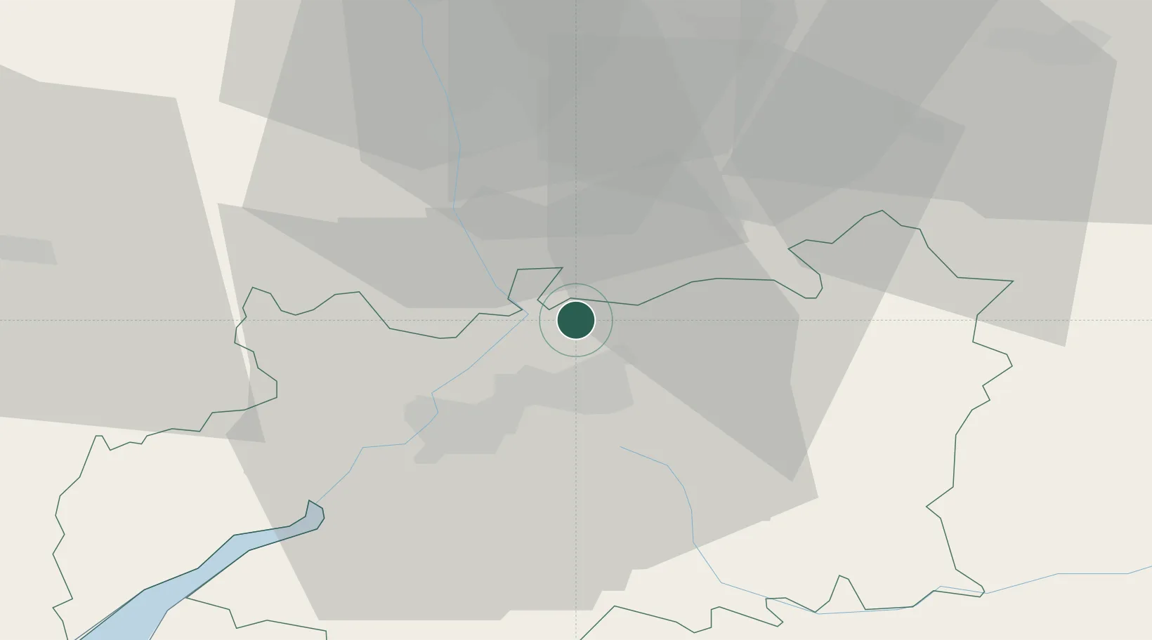
Nearby Logistics Neighbours

Cities
  1. 1Staverton9 km
  2. 2Strensham10 km
  3. 3Throckmorton19 km
  4. 4Norton19 km
  5. 5Defford20 km
Nearest neighbours — logibook spatial index (haversine) over the source coordinates
Ports
  1. 1Sharpness40 km
  2. 2Bristol68 km
  3. 3Avonmouth69 km
  4. 4Bird Port76 km
  5. 5Newport78 km
Nearest neighbours — logibook spatial index (haversine) over the source coordinates
Airports
  1. 1Gloucestershire Airport11 km
  2. 2RAF Fairford40 km
  3. 3RAF Brize Norton44 km
  4. 4London Oxford Airport56 km
  5. 5Birmingham Airport58 km
Nearest neighbours — logibook spatial index (haversine) over the source coordinates
Trade Zones
  1. 1Hereford Enterprise Zone40 km
  2. 2Ceramics Valley41 km
  3. 3Birmingham City Centre Enterprise Zone57 km
  4. 4Black Country Enterprise Zone65 km
  5. 5Bristol Temple Quarter Enterprise Zone68 km
Nearest neighbours — logibook spatial index (haversine) over the source coordinates
DatabookThe Record of Consolidated Knowledge
United Kingdom beyond logistics?
Browse databook

All Sources

LocationsUN/LOCODE
UN/LOCODE — free
Portsthe NGA World Port Index
Public domain (US gov)
AirportsOurAirports
Public domain
Trade Zonesthe World Bank SEZ database
CC BY 4.0
Trade ZonesOpen Zone Map
CC BY
← United Kingdom locations