Transport Functions
Rail
Road
Hub Profile
Place type
Populated place
Region
England
Time zone
Europe/London
Elevation
38 m
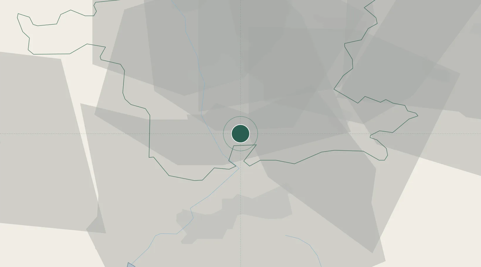
Location
Nearby Logistics Neighbours
Cities
- 1Norton10 km
- 2Ashchurch10 km
- 3Defford10 km
- 4Throckmorton12 km
- 5Warndon15 km
Airports
- 1Gloucestershire Airport19 km
- 2RAF Fairford49 km
- 3Birmingham Airport51 km
- 4RAF Brize Norton52 km
- 5Coventry Airport57 km
Trade Zones
DatabookThe Record of Consolidated Knowledge
United Kingdom beyond logistics?