UN/LOCODE hub · United Kingdom
GBZAE
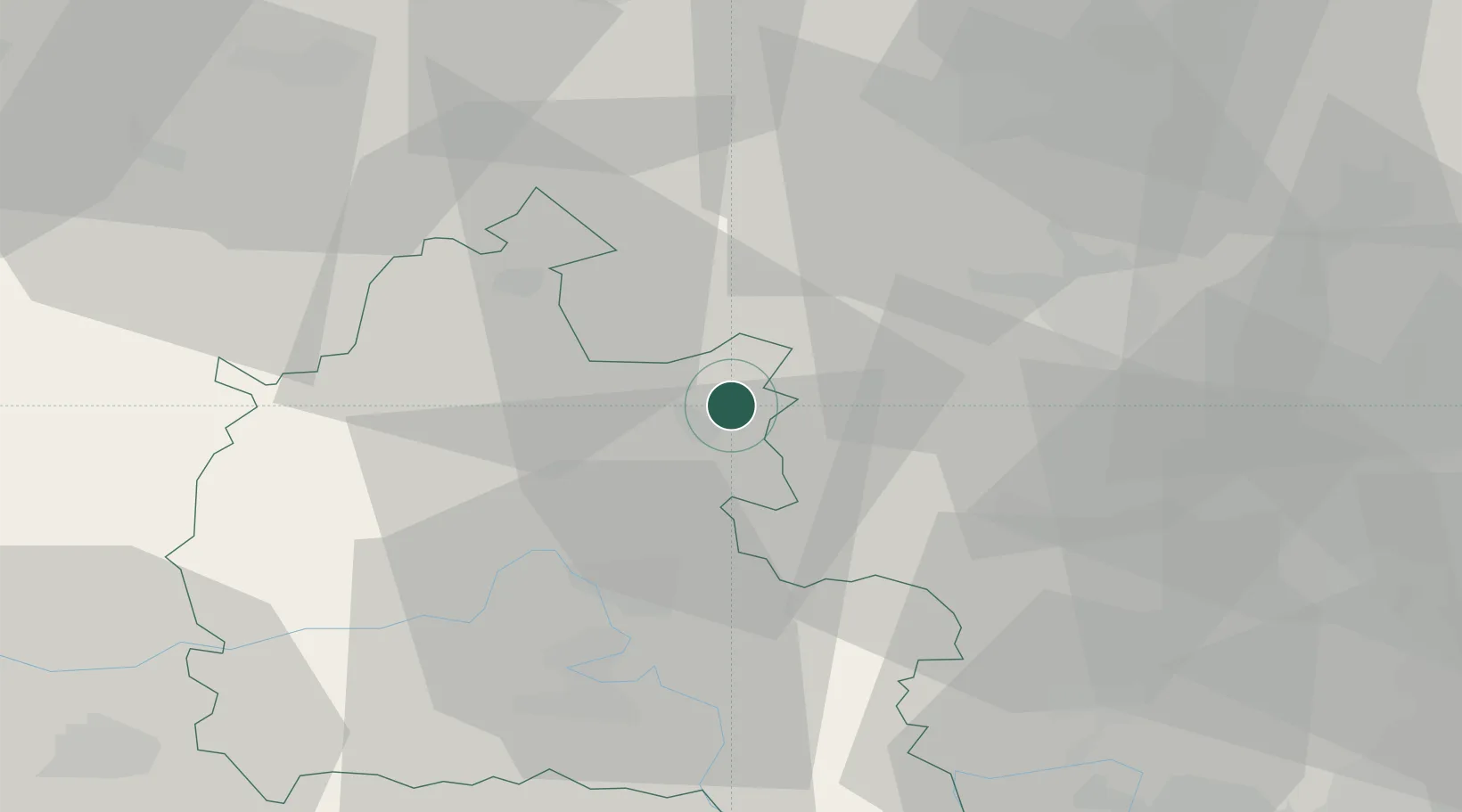
Bradfield
51.9333°, -1.1167°
1,161
Population
1
Transport functions
Transport Functions
Multimodal
Hub Profile
Place type
Populated place
Region
England
Population
1,161
Time zone
Europe/London
Elevation
69 m
Location
Nearby Logistics Neighbours
Cities
- 1Tendring6 km
- 2Ardley7 km
- 3Yarnton19 km
- 4Cassington22 km
- 5Enstone23 km
Ports
- 1London86 km
- 2Sharpness97 km
- 3Tilbury113 km
- 4Gravesend116 km
- 5Southampton117 km
Airports
- 1London Oxford Airport18 km
- 2RAF Benson36 km
- 3Cranfield Airport38 km
- 4RAF Brize Norton38 km
- 5London Luton Airport52 km
DatabookThe Record of Consolidated Knowledge
United Kingdom beyond logistics?