UN/LOCODE hub · United Kingdom
GBRSH
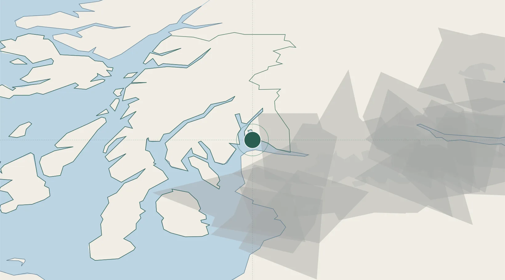
Rosneath
56.0167°, -4.8167°
1,260
Population
2
Transport functions
Transport Functions
Port
Road
Hub Profile
Place type
Populated place
Region
Scotland
Population
1,260
Time zone
Europe/London
Elevation
14 m
Location
Nearby Logistics Neighbours
Cities
- 1Rhu3 km
- 2Shandon4 km
- 3Kilcreggan4 km
- 4Ardentinny6 km
- 5Helensburgh6 km
Ports
- 1Faslane5 km
- 2Greenock9 km
- 3Finnart Oil Terminal11 km
- 4Bowling23 km
- 5Largs24 km
Airports
- 1Glasgow Airport29 km
- 2Glasgow Prestwick Airport59 km
- 3Oban Airport61 km
- 4Campbeltown Airport84 km
- 5Colonsay Airstrip89 km
Trade Zones
DatabookThe Record of Consolidated Knowledge
United Kingdom beyond logistics?