Transport Functions
Port
Airport
Hub Profile
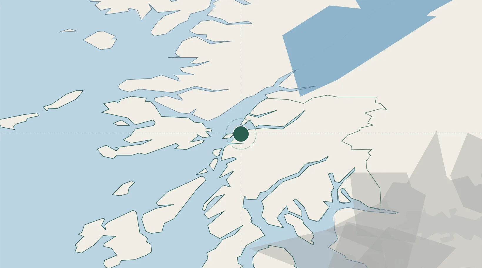
Place type
Populated place
Region
Scotland
Population
8,540
Time zone
Europe/London
Elevation
17 m
Location
Nearby Logistics Neighbours
Cities
- 1Lismore Island9 km
- 2Achnacroish9 km
- 3Point, Island of Lismore15 km
- 4Barcaldine15 km
- 5Port Appin15 km
Ports
- 1Craignure15 km
- 2Glensanda17 km
- 3Lochaline24 km
- 4Crinan (Canal)38 km
- 5Tobermory43 km
Airports
- 1Oban Airport7 km
- 2Colonsay Airstrip62 km
- 3Coll Airport74 km
- 4Tiree Airport87 km
- 5Glasgow Airport88 km
Trade Zones
DatabookThe Record of Consolidated Knowledge
United Kingdom beyond logistics?