Transport Functions
Road
Multimodal
Hub Profile
Place type
Populated place
Region
England
Time zone
Europe/London
Elevation
15 m
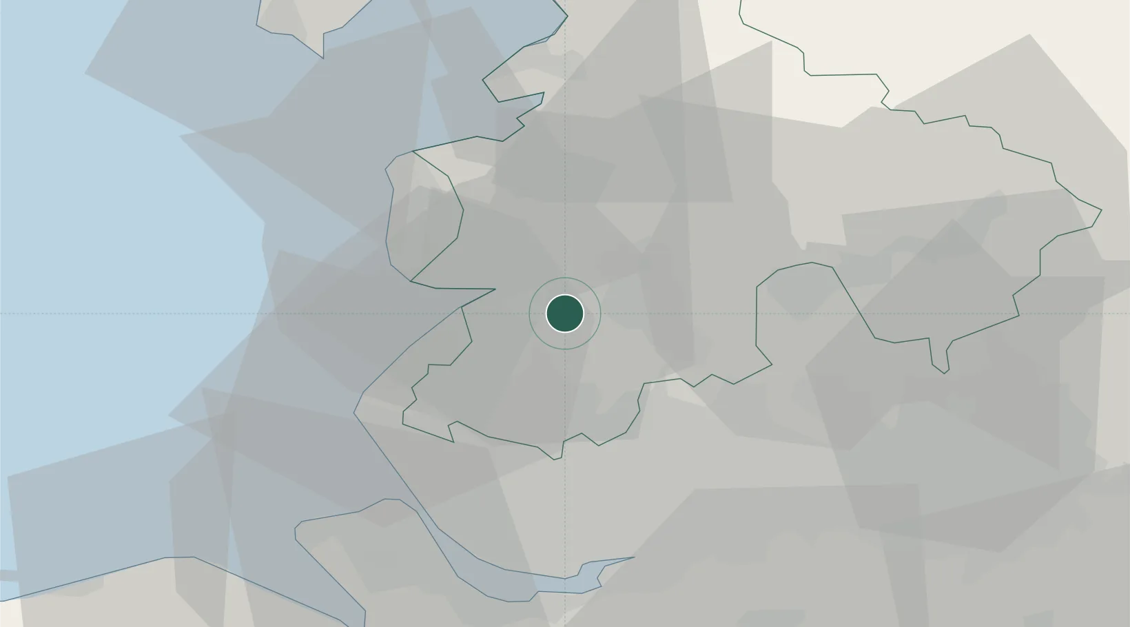
Location
Nearby Logistics Neighbours
Cities
- 1Farington7 km
- 2Holmeswood7 km
- 3Preston8 km
- 4Audlem8 km
- 5Ribbleton12 km
Airports
- 1Warton Aerodrome7 km
- 2Blackpool Airport17 km
- 3Liverpool John Lennon Airport41 km
- 4Manchester Airport52 km
- 5Barrow Walney Island Airport57 km
Trade Zones
DatabookThe Record of Consolidated Knowledge
United Kingdom beyond logistics?