UN/LOCODE hub · United Kingdom
GBPRE
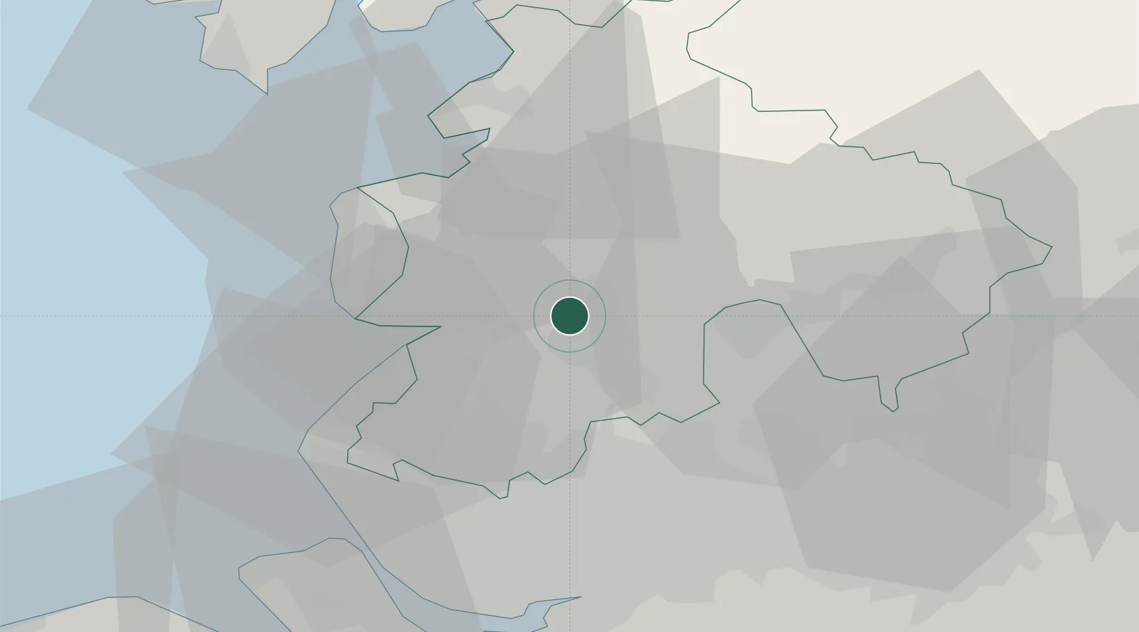
Preston
53.7500°, -2.7167°
313,332
Population
3
Transport functions
Transport Functions
Port
Rail
Road
Hub Profile
Place type
Provincial seat
Region
England
Population
313,332
Time zone
Europe/London
Elevation
34 m
Location
Nearby Logistics Neighbours
Cities
- 1Farington4 km
- 2Ribbleton5 km
- 3Much Hoole8 km
- 4Ribchester13 km
- 5Holmeswood15 km
Ports
- 1Fleetwood27 km
- 2Lancaster34 km
- 3Heysham34 km
- 4Liverpool42 km
- 5Manchester42 km
Airports
- 1Warton Aerodrome11 km
- 2Blackpool Airport21 km
- 3Liverpool John Lennon Airport47 km
- 4Manchester Airport53 km
- 5Barrow Walney Island Airport55 km
Trade Zones
DatabookThe Record of Consolidated Knowledge
United Kingdom beyond logistics?