Transport Functions
Rail
Road
Hub Profile
Place type
Urban district
Region
England
Time zone
Europe/London
Elevation
56 m
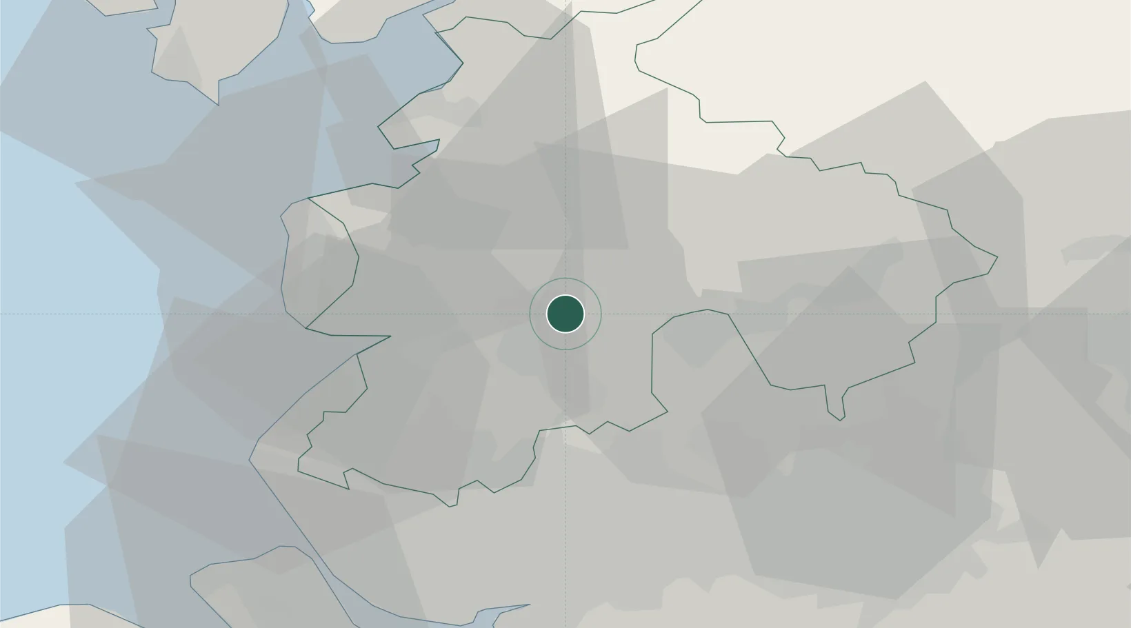
Location
Nearby Logistics Neighbours
Cities
- 1Preston5 km
- 2Farington7 km
- 3Ribchester9 km
- 4Much Hoole12 km
- 5Whalley16 km
Ports
- 1Fleetwood29 km
- 2Lancaster33 km
- 3Heysham34 km
- 4Manchester40 km
- 5Liverpool45 km
Airports
- 1Warton Aerodrome16 km
- 2Blackpool Airport25 km
- 3Liverpool John Lennon Airport50 km
- 4Manchester Airport53 km
- 5Barrow Walney Island Airport57 km
Trade Zones
DatabookThe Record of Consolidated Knowledge
United Kingdom beyond logistics?