Transport Functions
Road
Multimodal
Hub Profile
Place type
Populated place
Region
England
Time zone
Europe/London
Elevation
8 m
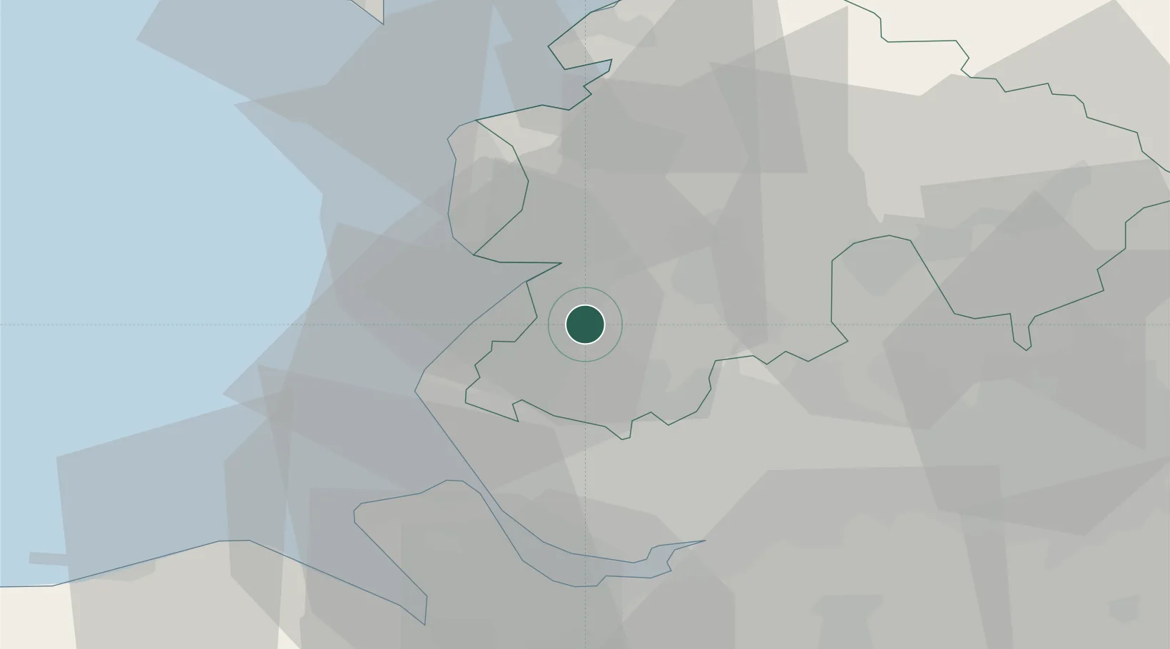
Location
Nearby Logistics Neighbours
Cities
- 1Audlem2 km
- 2Much Hoole7 km
- 3Southport9 km
- 4Birkdale11 km
- 5Farington13 km
Ports
- 1Liverpool27 km
- 2Fleetwood31 km
- 3Garlston33 km
- 4Heysham43 km
- 5Manchester44 km
Airports
- 1Warton Aerodrome11 km
- 2Blackpool Airport17 km
- 3Liverpool John Lennon Airport35 km
- 4Manchester Airport51 km
- 5Hawarden Airport53 km
Trade Zones
DatabookThe Record of Consolidated Knowledge
United Kingdom beyond logistics?