Transport Functions
Multimodal
Hub Profile
Place type
Populated place
Region
England
Population
1,658
Time zone
Europe/London
Elevation
60 m
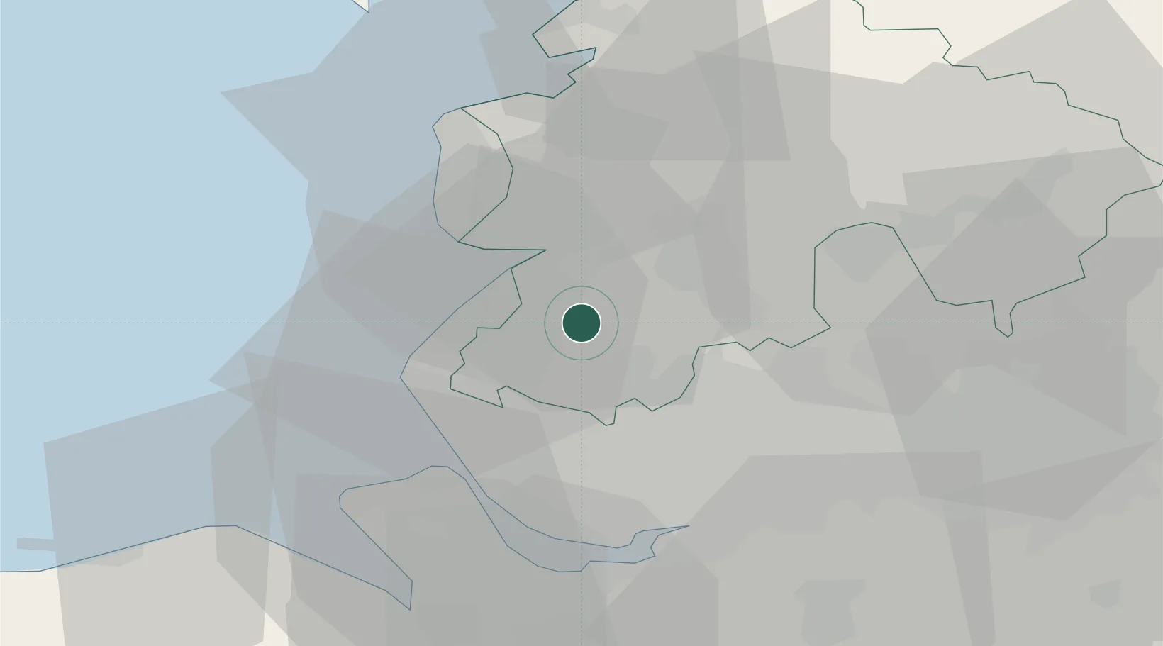
Location
Nearby Logistics Neighbours
Cities
- 1Holmeswood2 km
- 2Much Hoole8 km
- 3Southport10 km
- 4Birkdale12 km
- 5Farington14 km
Ports
- 1Liverpool26 km
- 2Garlston32 km
- 3Fleetwood33 km
- 4Manchester42 km
- 5Heysham45 km
Airports
- 1Warton Aerodrome13 km
- 2Blackpool Airport19 km
- 3Liverpool John Lennon Airport33 km
- 4Manchester Airport49 km
- 5Hawarden Airport51 km
Trade Zones
DatabookThe Record of Consolidated Knowledge
United Kingdom beyond logistics?