UN/LOCODE hub · United Kingdom
GBIOG

Isle of Grain

51.4500°, 0.7000°
1
Transport functions

Transport Functions

Port
Isle of Grain is also a profiled seaport →
UN/LOCODE

Hub Profile

Region
KEN
GeoNames

Location

Location of GBIOG
Natural Earth 10m (public domain) · KEN · GBIOG · 51.45, 0.70GoogleOSMYandex

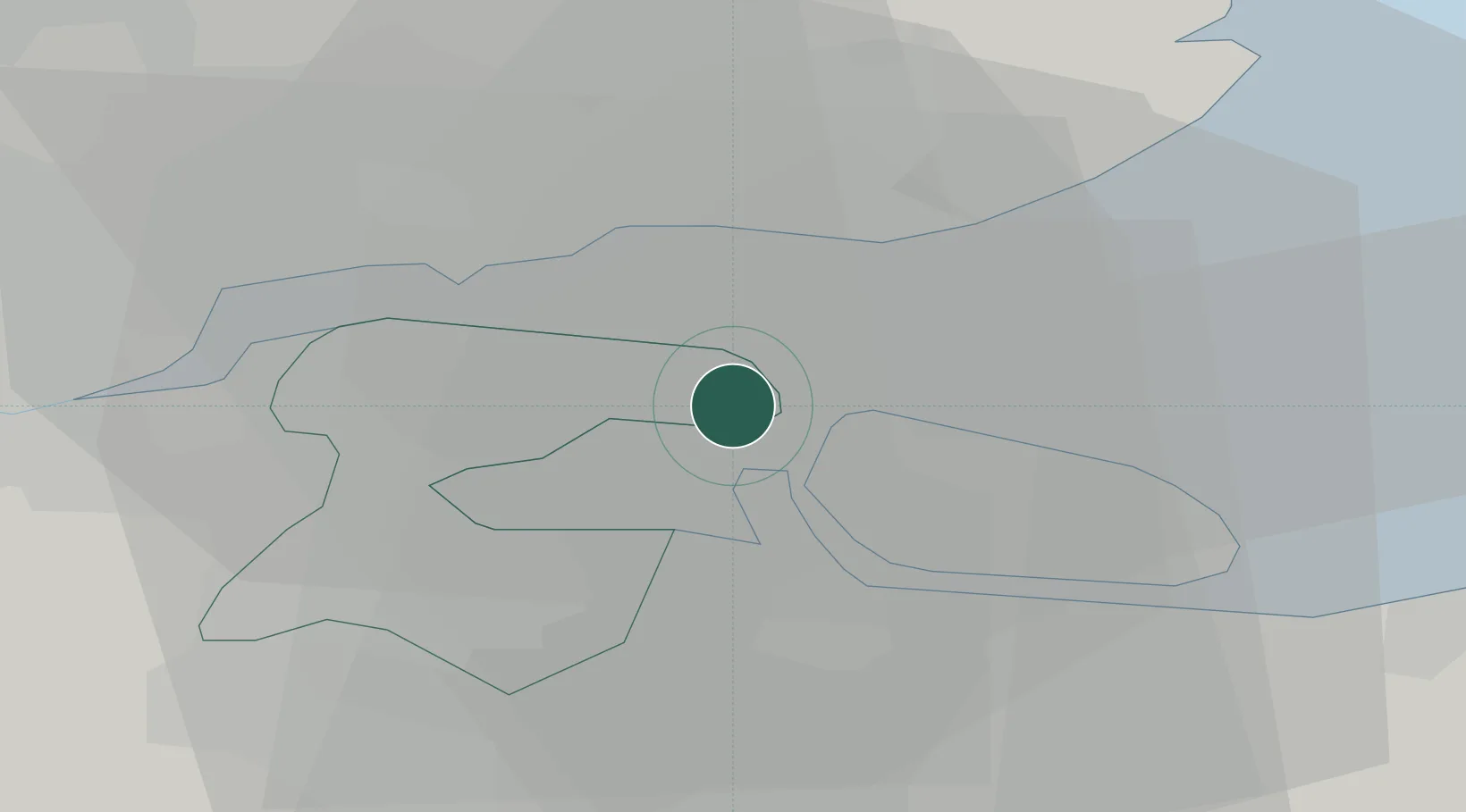
Nearby Logistics Neighbours

Cities
  1. 1North Woolwich6 km
  2. 2London Thamesport7 km
  3. 3Rochester8 km
  4. 4Southend-on-Sea9 km
  5. 5Isle of Sheppey10 km
Nearest neighbours — logibook spatial index (haversine) over the source coordinates
Ports
  1. 1Thamesport2 km
  2. 2Sheerness4 km
  3. 3Chatham Docks12 km
  4. 4Gravesend23 km
  5. 5Whitstable25 km
Nearest neighbours — logibook spatial index (haversine) over the source coordinates
Airports
  1. 1London Southend Airport13 km
  2. 2London City Airport45 km
  3. 3London Biggin Hill Airport48 km
  4. 4Lydd London Ashford Airport57 km
  5. 5London Stansted Airport58 km
Nearest neighbours — logibook spatial index (haversine) over the source coordinates
Trade Zones
  1. 1Port of Sheerness Free Zone4 km
  2. 2Port of Tilbury Free Zone24 km
  3. 3Discovery Park - Sandwich Enterprise Zone48 km
  4. 4London Royal Docks Enterprise Zone48 km
  5. 5Harlow Enterprise Zone55 km
Nearest neighbours — logibook spatial index (haversine) over the source coordinates
DatabookThe Record of Consolidated Knowledge
United Kingdom beyond logistics?
Browse databook

All Sources

LocationsUN/LOCODE
UN/LOCODE — free
Portsthe NGA World Port Index
Public domain (US gov)
AirportsOurAirports
Public domain
Trade Zonesthe World Bank SEZ database
CC BY 4.0
Trade ZonesOpen Zone Map
CC BY
← United Kingdom locations