UN/LOCODE hub · United Kingdom
GBAYD
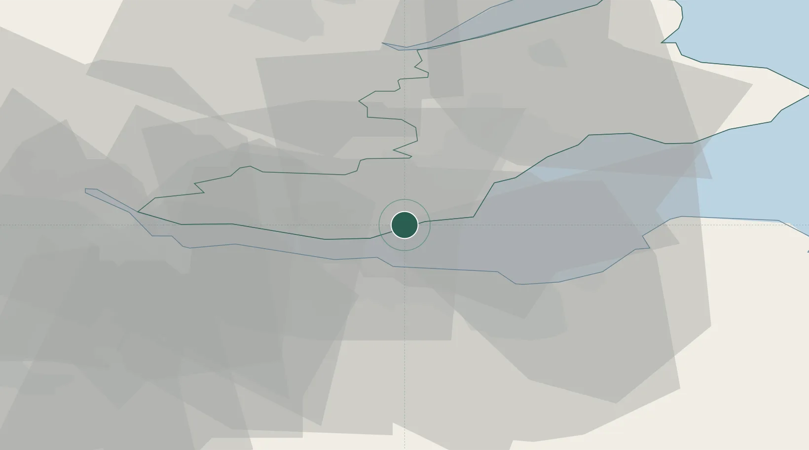
Aberdour
56.0500°, -3.2833°
1,650
Population
3
Transport functions
Transport Functions
Port
Rail
Road
Hub Profile
Place type
Populated place
Region
Scotland
Population
1,650
Time zone
Europe/London
Elevation
35 m
Location
Nearby Logistics Neighbours
Cities
- 1Braefoot Bay2 km
- 2Hound Point2 km
- 3Burntisland4 km
- 4Mossmoran4 km
- 5Dalgety Bay5 km
Ports
- 1Braefoot Bay Terminal3 km
- 2Burntisland3 km
- 3Hound Point Terminal8 km
- 4Granton9 km
- 5Leith10 km
Airports
- 1Edinburgh Airport12 km
- 2Leuchars Station Airfield44 km
- 3Dundee Airport48 km
- 4Glasgow Airport74 km
- 5Glasgow Prestwick Airport101 km
Trade Zones
DatabookThe Record of Consolidated Knowledge
United Kingdom beyond logistics?